Indigenous cultural landscapes demonstrate aspects of the natural and cultural resources that supported American Indian lifeways and settlements in the early 17th century. Considered trail-related resources to the Captain John Smith Chesapeake National Historic Trail, these evocative places may be important to descendant communities today as well as to conservation strategies in the Chesapeake watershed. Ongoing...
Learn MoreDefining the Greater York River Indigenous Cultural Landscape
St. Mary’s College of Maryland and the National Park Service completed the most recent ICL report in 2019. The York River watershed includes the Pamunkey and Mattaponi Rivers and is tied to The Pamunkey Indian Tribe, The Upper Mattaponi Indian Tribe, and The Mattaponi Indian Tribe. Members of the three tribes were invaluable contributors to the study.
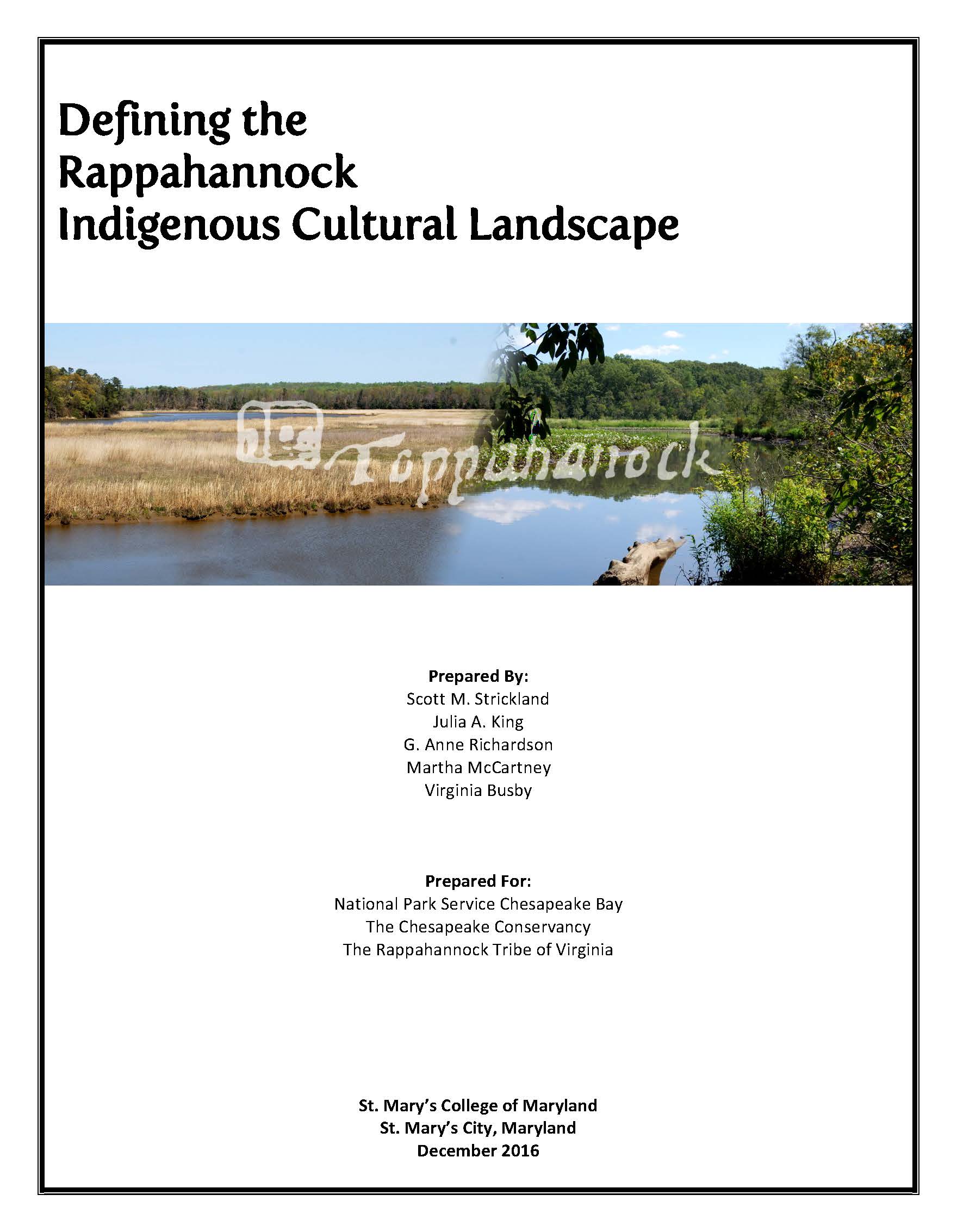
Defining the Rappahannock Indigenous Cultural Landscape
NPS worked with St. Mary’s College and the Rappahannock Tribe to complete an Indigenous Cultural Landscape Report of the Rappahannock River in 2016. The study defined an area of some 552 square miles that had significance to the tribe and made important discoveries about the tribe’s settlement patterns in response to ecological factors.
Defining the Nanticoke Indigenous Cultural Landscape
The Nanticoke River watershed was the first to undergo an Indigenous Cultural Landscape study, which was completed in 2013 in collaboration with The University of Maryland. The authors worked closely with members of the Native American community, including Chief Sewell Fitzhugh of the Nause-Waiwash Band of Indians, Chief William Daisey of the Nanticoke Indian Tribe, and Chief Dennis Coker of the Lenape Indian Tribe of Delaware.
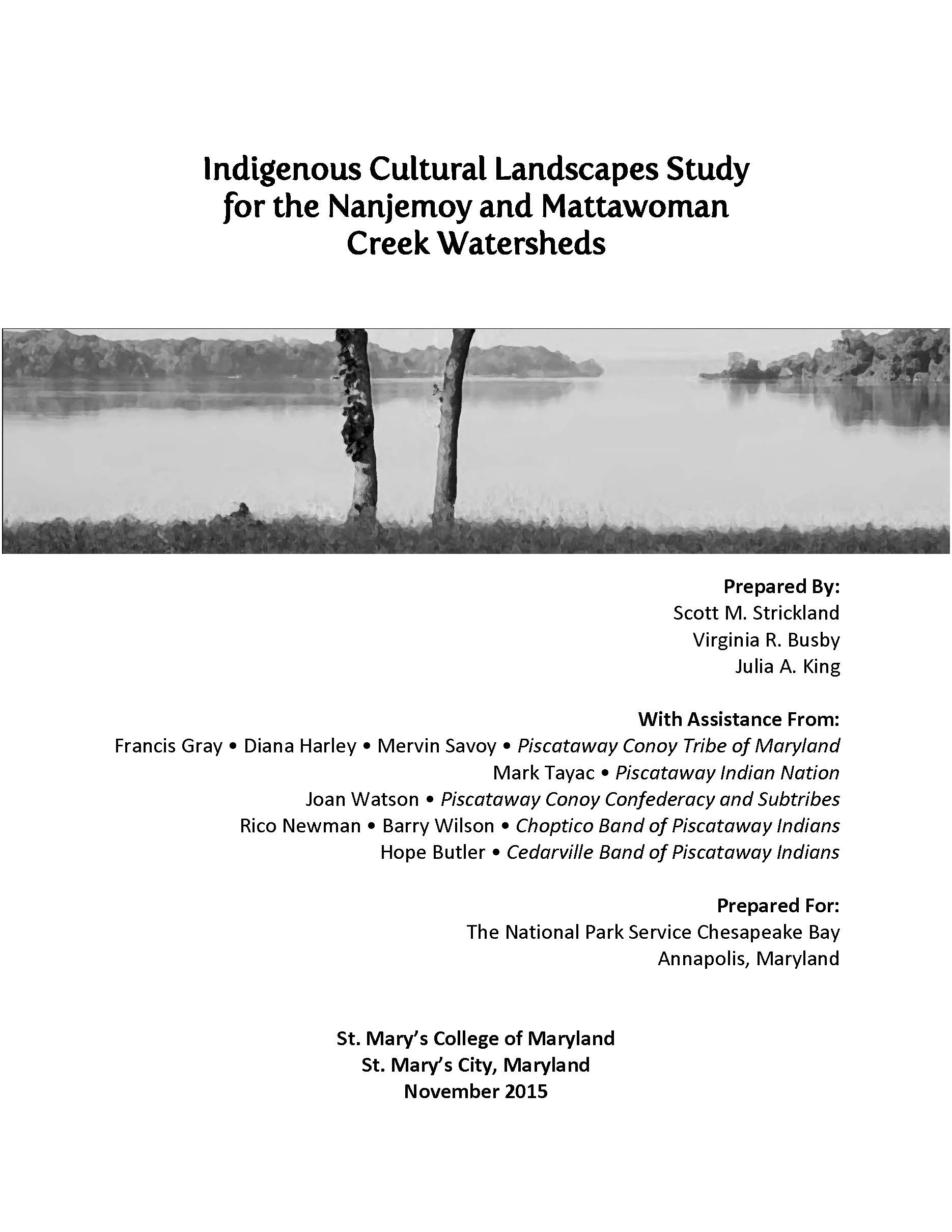
Nanjemoy & Mattawoman Creek Watersheds Indigenous Cultural Landscape
In 2015, researchers from St. Mary’s College in Maryland conducted a study of the Nanjemoy and Mattawoman creek watersheds. Located about 50 miles southeast of Washington D.C., the creeks are located in a region that was shown to be heavily populated on Captain John Smith’s map of Virginia. Two state-recognized tribes, Piscataway Indian Nation and Piscataway Conoy Tribe of Maryland, contributed their knowledge and perspectives.
Indigenous Cultural Landscape of the Lower Susquehanna Area
The lower Susquehanna is the length of the river that flows south from Harrisburg, Pennsylvania to the mouth of the Chesapeake Bay in Maryland. There are some fifty Native American sites in the region, largely with ties to the Susquehannock or the earlier “Shenks Ferry” people. Without descendent communities remaining in the region, the study – conducted with the help of Bucknell University in 2015 – relied on historians, archeologists, and other experts.
