Protected Network of Lands
The Chesapeake’s best lands face many threats. Forests continue to be converted at a rate of about 100 acres a day, and more than 6 million acres – 45 percent – of the forest and wetland resources in the watershed remain vulnerable to development. The Chesapeake Bay watershed is quickly losing its iconic landscapes.
Through advocacy and action, the Chesapeake Conservancy is working to identify and conserve the region’s hotspots; places that embody the spirit of the Bay and its great rivers and can serve as hubs for further river corridor conservation efforts.
Read on and learn about our efforts to protect biodiversity and conserve lands along the Nanticoke River, our initiative to protect the site of Zekiah Fort in Maryland, our work to conserve Point Comfort – home of the historic Fort Monroe and second landing site of Captain John Smith, and our collaborative efforts that led to the creation of the Harriet Tubman Underground Railroad National Monument.
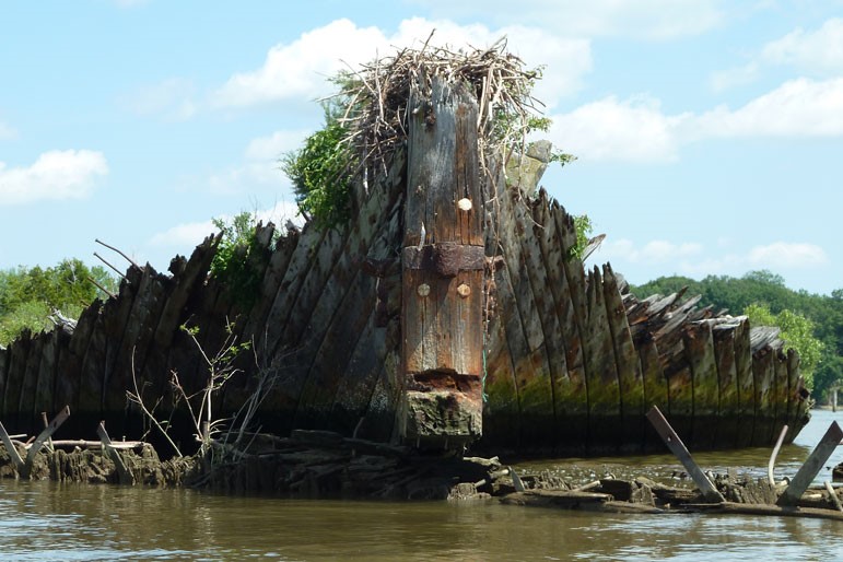
Mallows Bay is a special place where the public can connect to the Bay’s cultural, historical, and ecological beauty through public access, education, and recreation.
Visitors can paddle through the “ghost fleet” of more than 100 World War I wooden steamships and experience the unique natural and cultural landscapes. The Conservancy is one of many organizations that supported the Mallows Bay-Potomac River National Marine Sanctuary Nomination, which would protect this marine landscape for generations to come.
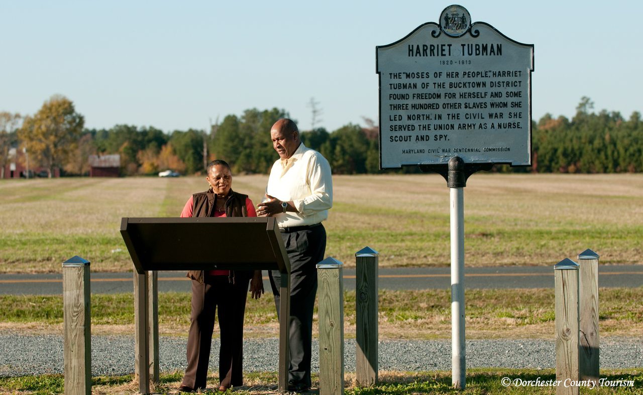
On March 26th, 2013, President Obama signed a declaration officially establishing the Harriet Tubman Underground Railroad National Monument. The historic landscape in Dorchester County, Tubman’s childhood home, is still evocative of the landscape she navigated as an escaped slave leading other enslaved people to freedom. The Conservancy has helped garner support for the creation of a national monument in Dorchester County from organizations and legislators.
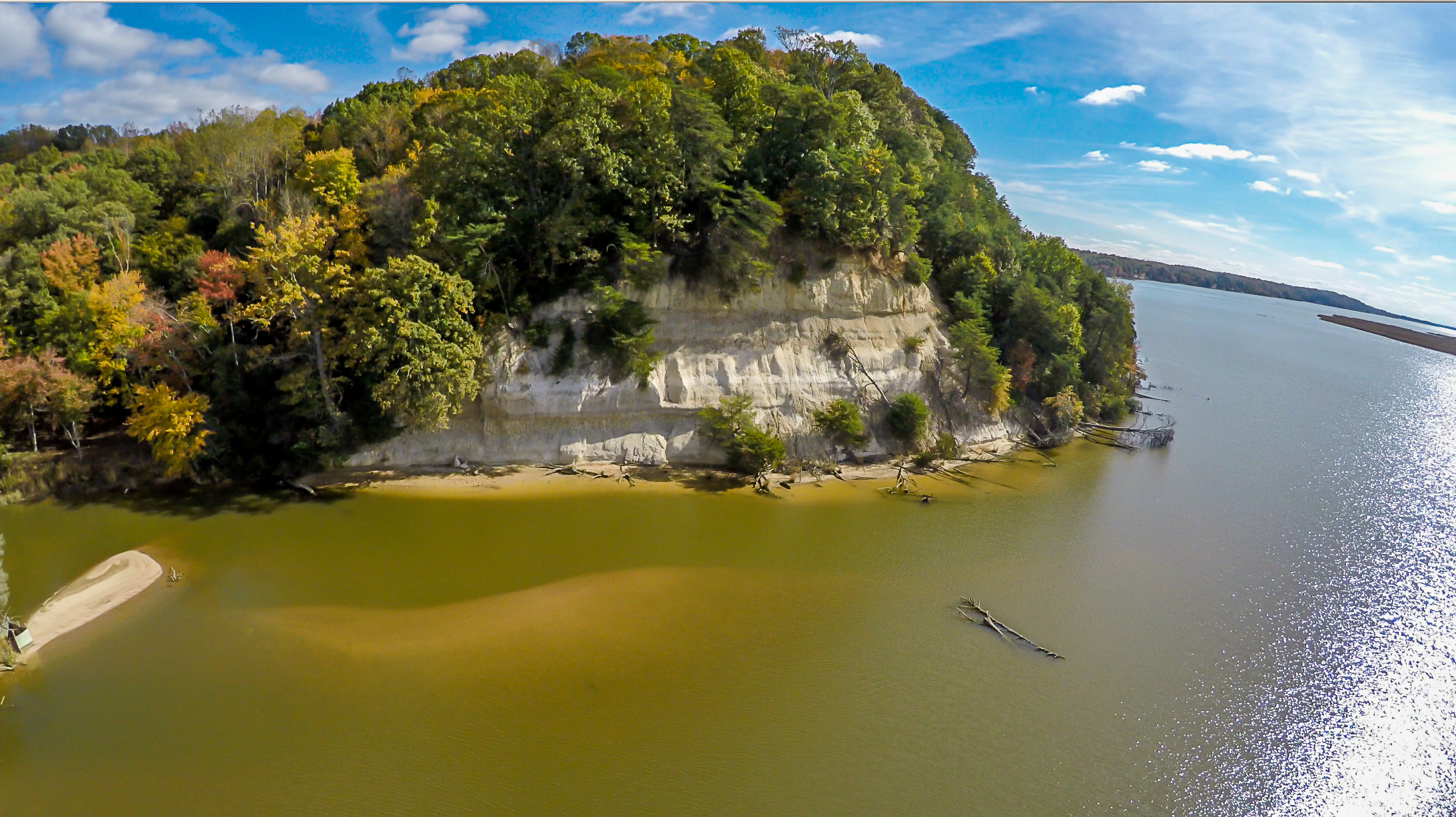
The Chesapeake Conservancy is working with the U.S. Fish & Wildlife Service and others to conserve Fones Cliffs, a four mile stretch of white colored diatomaceous cliffs rising over 100 feet above the Rappahannock River. This largely unspoiled landscape is a place of both natural and cultural importance, and is a key feature along the Captain John Smith Chesapeake National Historic Trail, the nation’s first national watertrail.
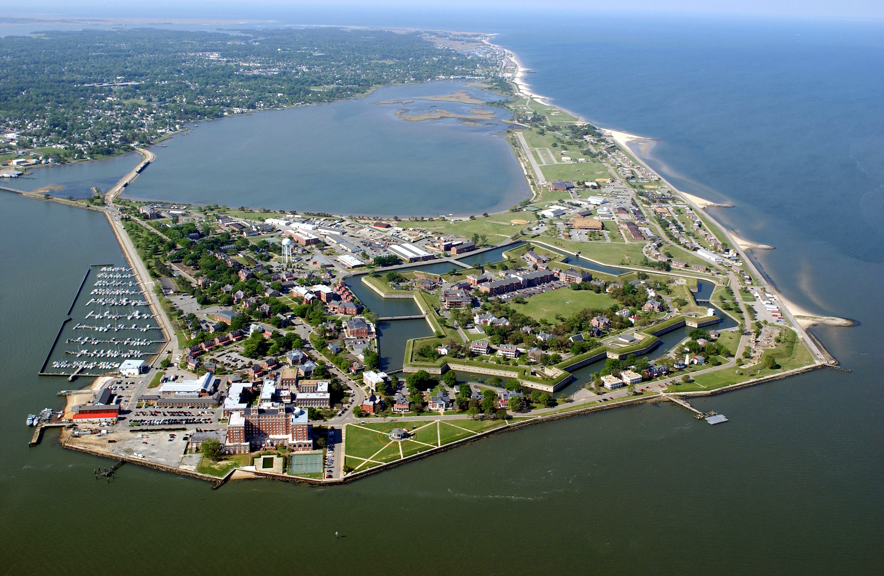
On November 1, 2011, President Obama signed a declaration officially establishing the 325-acre Fort Monroe National Monument. The Chesapeake Conservancy played an integral role in this designation by acting as a conservation catalyst. The historic fort is a key heritage site on the Captain John Smith Chesapeake National Historic Trail, located near the mouth of the Chesapeake Bay in Hampton, VA.
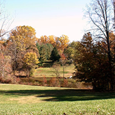
Zekiah Fort
Zekiah Fort, a 17th century fortified Piscataway settlement and one of the most significant sites in Maryland, eluded historians for years. Now, the site has been located, and a diverse team of public and private entities is working to ensure the protection of this historic property. This 100-acre site contains beautiful woodlands, historic trails and an important connection to a vital chapter of 17th century Chesapeake history – making it an important indigenous cultural landscape and site along the Captain John Smith Chesapeake National Historic Trail.
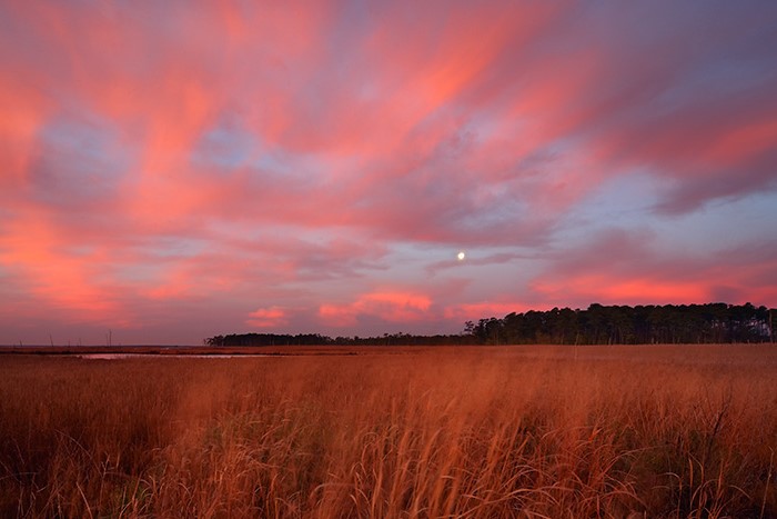
The U.S. Fish and Wildlife Service has added 1,225 acres of land to the Blackwater National Wildlife Refuge – one of the premier waterfowl refuges in the Chesapeake region. The Chesapeake Conservancy helped identify the properties and advocated for their inclusion in the refuge, as well as for funds to support their purchase. These new properties contain significant black duck, bald eagle, osprey, and wood duck habitat. They are also along the Captain John Smith Chesapeake National Historic Trail.
The Chesapeake Conservancy was a strong advocate for the absorption of the Blair’s Wharf property into the pre-existing James River National Wildlife Refuge. Adding this 125 acres of land helped conserve significant riverfront land and secure vital bald eagle and other bird important breeding habitat.
Four parcels of land totaling over 4,000 acres were purchased from the Roman Catholic Jesuit Order. Including nearly 20 miles of Potomac riverfront, these important areas for both wildlife and history also serve to allow more public access to these natural spaces. Boating, hiking, and fishing are just a few of the recreational activities that can now be enjoyed in these protected lands and water
