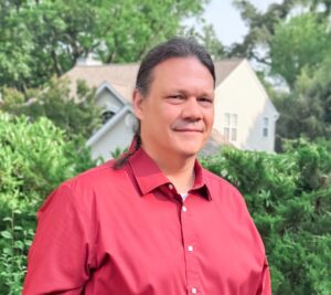
Steven Guinn
 Geospatial Modeler
Steven Guinn is a geospatial modeler at Chesapeake Conservancy’s Conservation Innovation Center (CIC), where he is working on the CBP 1-meter “land cover” project. Prior to the Conservancy, Guinn worked with the University of Maryland Center for Environmental Science (UMCES) at the Appalachian Laboratory in Western Maryland for over 14 years.
His interests and expertise include the application and integration of computer and ecological sciences to more efficiently model and represent natural phenomena as digital data structures. Guinn is primarily focused on developing novel methods that synergistically document, manage, and process large datasets; improve existing models and workflows to decrease processing time or infrastructure requirements; and design and implement complex data models to improve knowledge and information extraction.
Guinn completed his Maryland GED and went on to graduate from Frostburg State University with a B.S. in both geography and earth sciences. Guinn lives in Allegany County with his wife, youngest child and adorable dog “Snickerdoodle”. As an avid outdoors person, when not behind a computer Guinn is most likely boating, fishing, hunting or wandering around in a forest. During late summer and fall, Guinn and his family can be found at the Maryland Renaissance Festival where he has displayed his artwork for over 30 years.