Innovate
Pennsylvania is the Conservancy’s proving ground for the cutting-edge advancements developed by our Conservation Innovation Center. Our field staff work every day with restoration professionals to ensure that new technical resources are meaningful to advance clean water goals.
But technology is just a tool that we use to achieve real, on-the-ground results. Collectively, the Precision Conservation Partnership has:
- Raised over $350,000 to restore 12 Pennsylvania farms
- Installed over 70 acres of riparian forest buffers
- Restored 2,800 feet of streams
- Installed best management practices on 180,000 square feet of barnyards
And this is just the start. By restoring the places that matter most, streamlining farmer outreach and grant administration, and most importantly by working together, 16 organizations in the Precision Conservation Partnership are now laser-focused on de-listing streams designated as impaired under Pennsylvania’s Integrated Water Quality Report, per Section 303(d) of the Clean Water Act.
Find out about the rapid de-listing strategy and our approach to precision conservation.
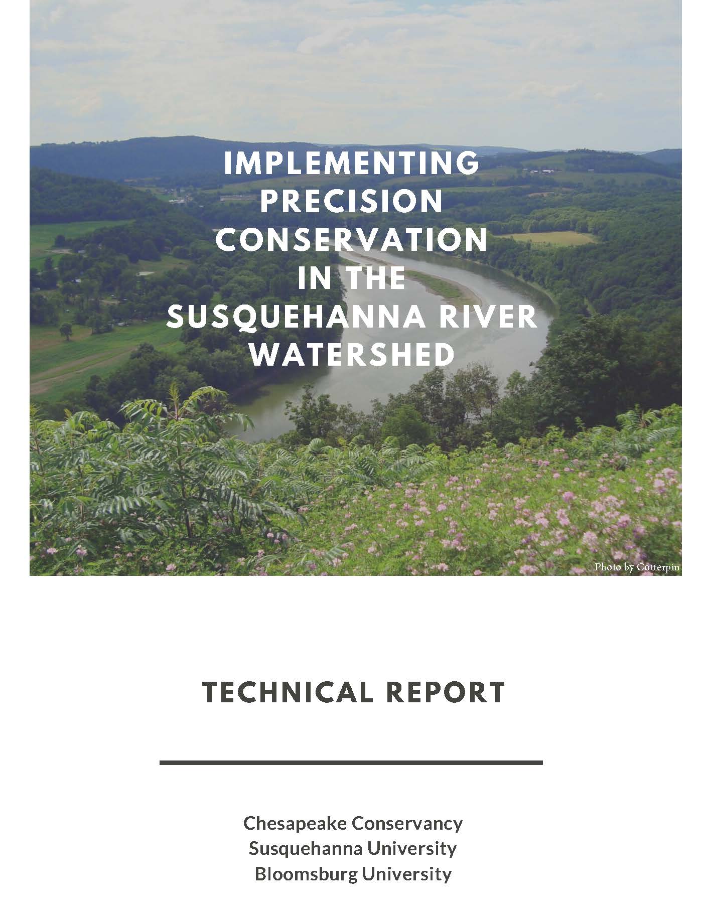
Implementing Precision Conservation in the Susquehanna River Watershed
Chesapeake Conservancy, Susquehanna University and Bloomsburg University provided this technical report in 2019. The report analyzes in-stream monitoring data to study the hypothesis which states, “Landscape variables can be reliably used to effectively predict water quality of adjacent streams.” The study was conducted to verify mapping as a valid way to prioritize parcels–primarily farms–where restoration will lead to more cost effective and efficient water quality improvements in the Susquehanna River Watershed.

ArcGIS web tools for Pennsylvania and the Susquehanna River
The Conservancy, along with our partners began an initiative that will pilot a new approach using precision conservation to reduce nutrient and sediment pollution from nonpoint sources to improve water quality and scenic beauty. Once complete, the project may serve as a national model.
Mapping Datasets and Tools Created by Chesapeake Conservancy as part of the Implementing Precision Conservation in the Susquehanna River Watershed Initiative
*To protect the privacy of Pennsylvania landowners, many of these tools are password protected. To learn more about these tools and to request access, please contact our Program Manager, Carly Dean at [email protected].
Freshwater Research Initiative tool
Stream monitoring viewer for central PA encouraging data-driven action.
Precision Conservation Prioritization Tool*
Support tool to prioritize parcels for BMPs to improve water quality.
Halfmoon Creek Farmer Outreach Tool*
Web-interface used to support data-driven landowner outreach.
Restoration Reports
Landowner printouts of parcel specific restoration options.
Tiered Buffer Incentive Tool*
Estimates financial incentives for farmers who install forest buffers.
PA Data Downloader
Download CC created land (buffer analysis) and water (flow path) data.
York County Storm Water Consortium BMP Reporting Tool
Streamlines tracking and reporting of urban restoration projects.
Buffer Conservation Opportunity Area Analysis*
Decision support tool ranking parcels for conservation easements.
Surface Water Resource Mapper
Access high-resolution hydrology data to encourage right-sizing of BMPs.
Lancaster Clean Water Partners Collaborative Watershed Mapping Tool
Provides a county-wide road map to restore Lancaster’s creeks and streams.
Turkey Hill Clean Water Partnership Tool*