Chesapeake Conservancy supports work beyond what the National Park Service could accomplish on its own, including: improving public access, supporting land conservation, conducting cultural research and environmental analysis, and providing outreach that enrich visitors’ experiences and create a sustainable future for the Chesapeake Bay watershed.
“Heaven and earth never framed a more perfect place for man’s habitation.” – Captain John Smith, 1612
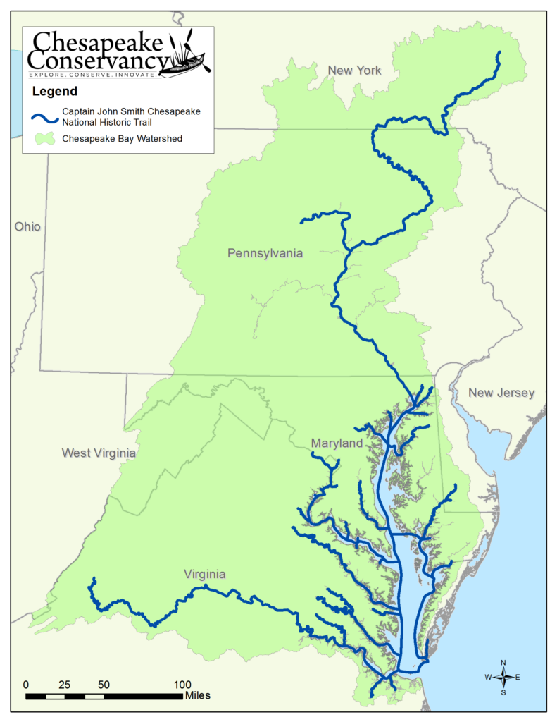
Chesapeake Conservancy is proud to support trail development for the Captain John Smith Chesapeake National Historic Trail (Chesapeake Trail). The trail commemorates Captain Smith’s exploration of the Bay in 1607 through 1609, and is the nation’s first all-water national historic trail. It provides a significant conservation, recreation and education resource that stretches over 3,000 miles and traverses most of the Chesapeake’s great rivers. In addition to providing needed recreational access to the Chesapeake and its rivers, the trail provides a framework for our work of large landscape conservation, vital to celebrate, protect and restore the Bay. Just as the Appalachian National Scenic Trail provided a framework for large landscape conservation since 1920, so can the Chesapeake Trail.
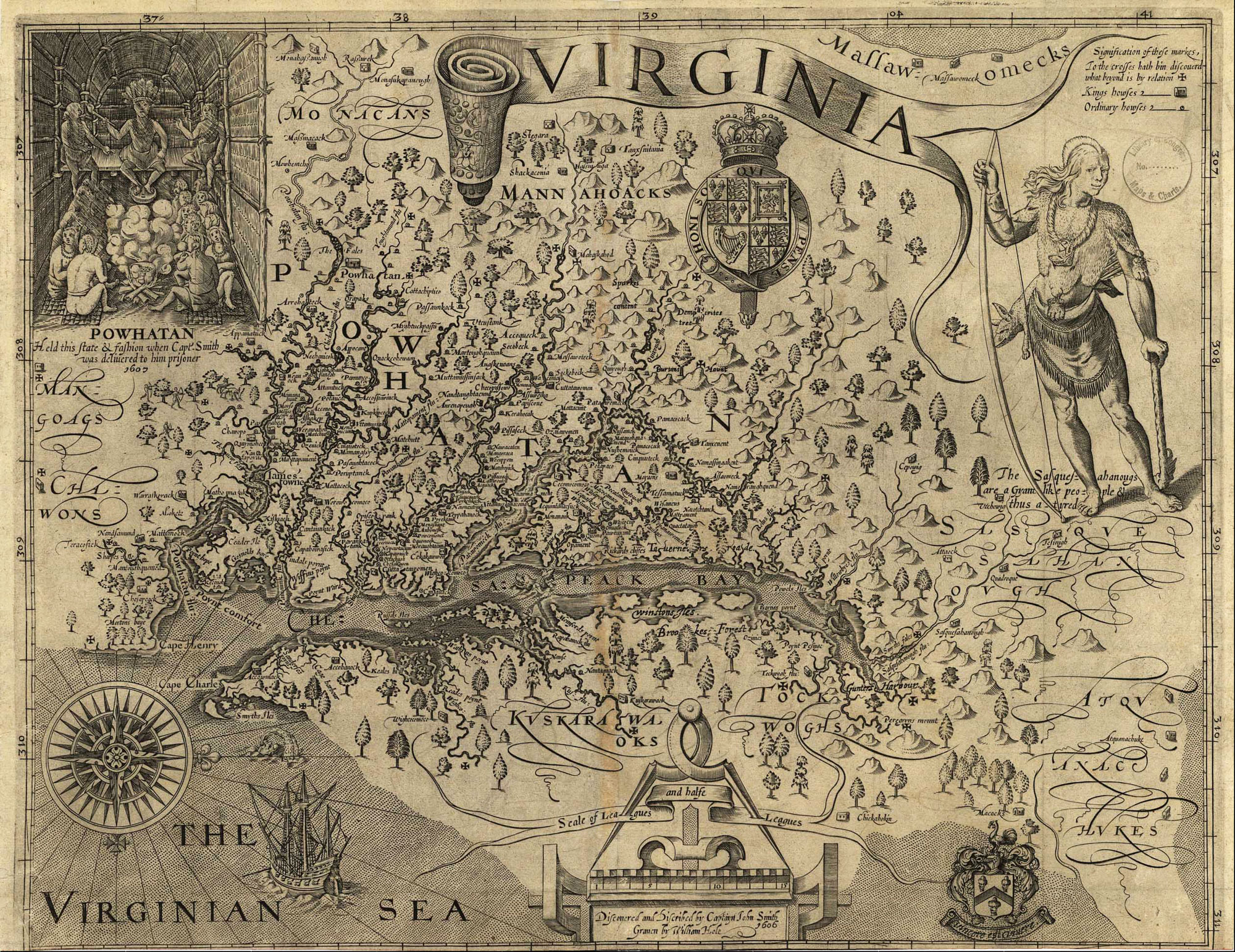
The Captain John Smith Chesapeake National Historic Trail is based on the explorer’s map and written accounts. The trail, administered by the National Park Service, connects with 16 National Wildlife Refuges, 12 National-Parks, and three other National Trails. It offers opportunities for tourism, environmental and cultural education, conservation, and recreation. The multi-dimensional nature of the Chesapeake Trail makes it a model for a new system of National Blueways.
The Chesapeake Conservancy and the National Park Service have developed a Chesapeake Trail Conservation Strategy that defines a process for prioritizing conservation areas along the trail that are important to the visitor experience. Working alongside the NPS, the Conservancy is implementing this strategy along each segment of the Capt. John Smith Trail. Learn more about the Chesapeake Trail segment planning.
Explore how you can experience the Chesapeake Trail:
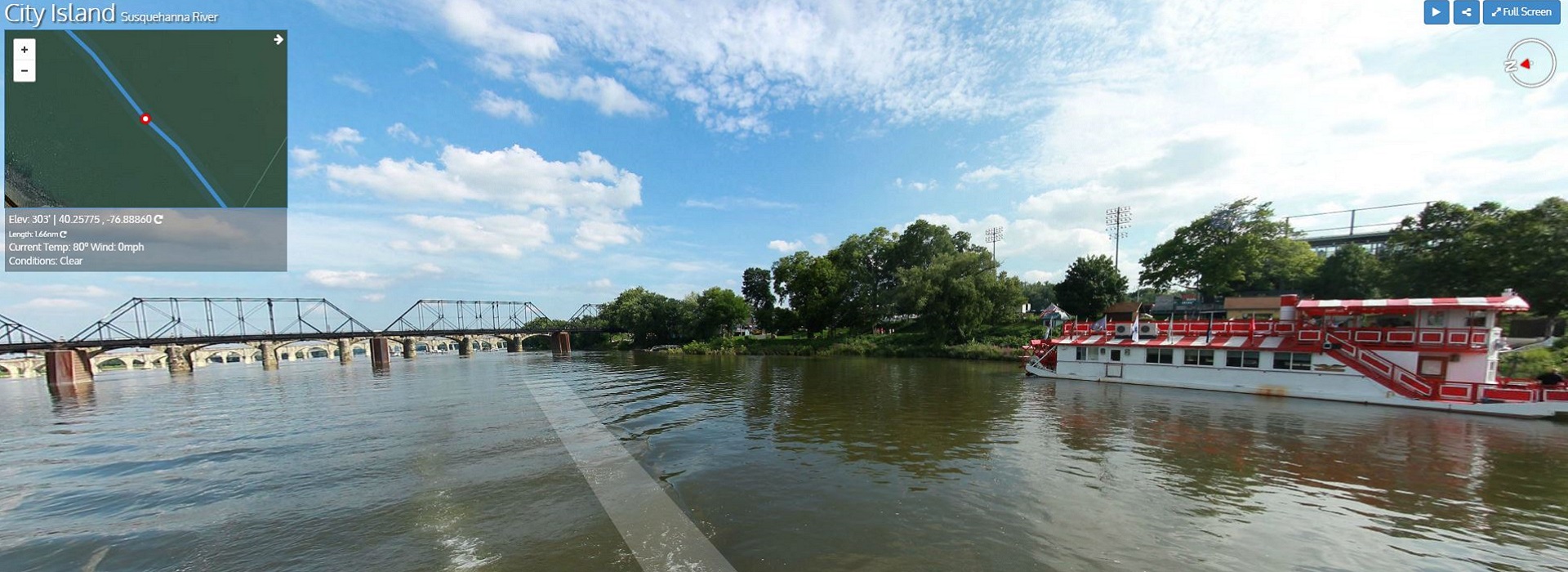
John Smith Chesapeake Trail Virtual Tours
Take a virtual tour of one or more of 15 sites along the Captain John Smith Chesapeake National Historic Trail from your computer or mobile device. Enjoy the beautiful shipwrecks steeped in our nation’s history that now serve as ecological habitats at Mallows Bay. Take in the beautiful James River as it flows through Virginia or the mighty Susquehanna, the lifeblood of the Chesapeake, pouring about 20 billion gallons of freshwater into the Bay each day. We hope that the virtual tour will inspire and help plan a real trip to these beautiful rivers of the Chesapeake.
Captain John Smith Chesapeake NHT newsletter
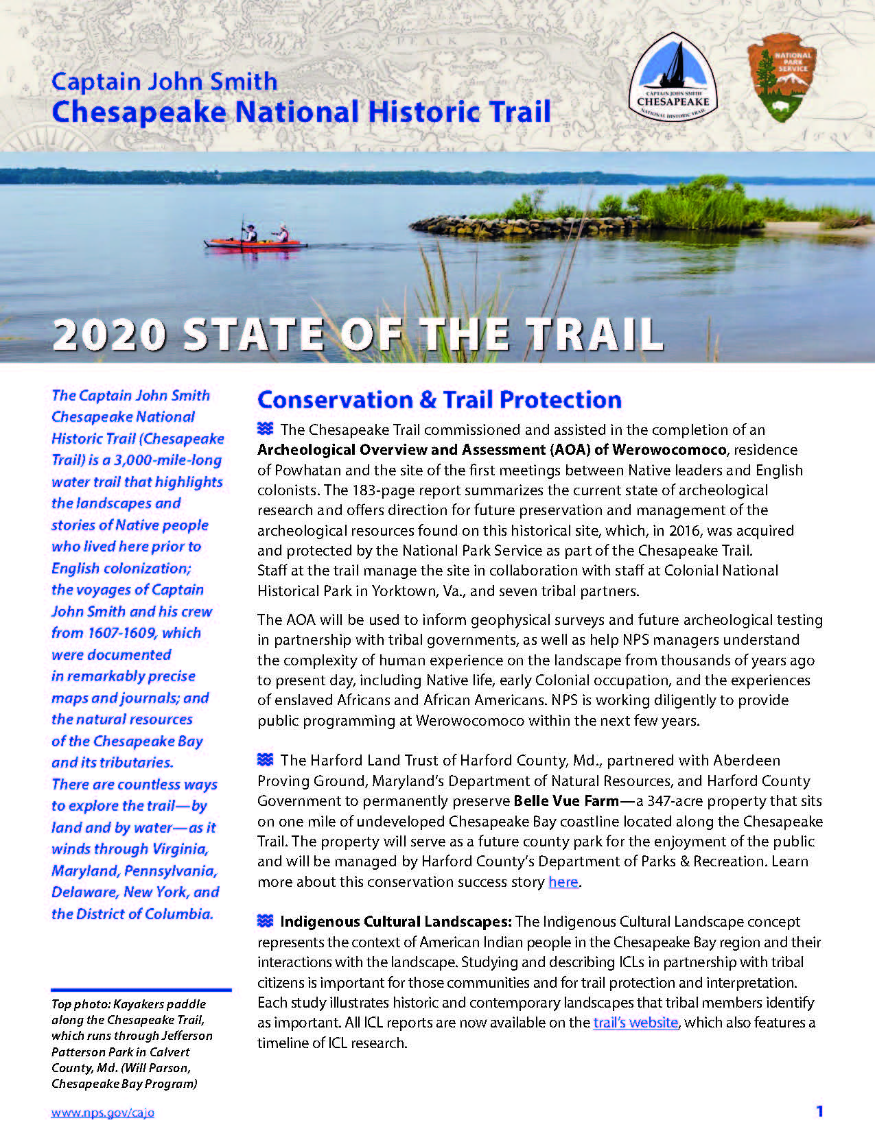
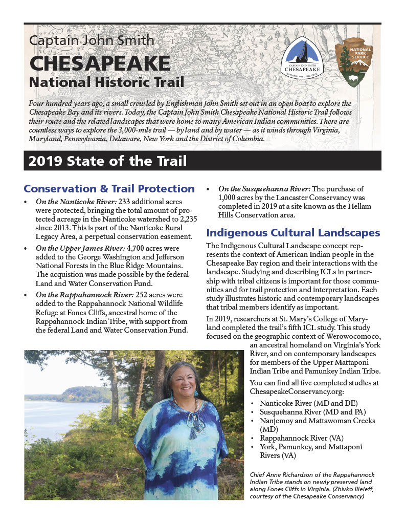
State of the Trail Reports
Read about all of the amazing accomplishments of the Captain John Smith Chesapeake National Historic Trail!
- 2020: From commissioning and assisting in the completion of an Archeological Overview of Werowocomoco, to being featured in a new book, America’s National Historic Trails: Walking the Trails of History.
- 2019: From the successful continuation of the Junior Ranger program, to the newly funded Maritime Crafts Field School, there is much to be celebrated.
Boater's Guide
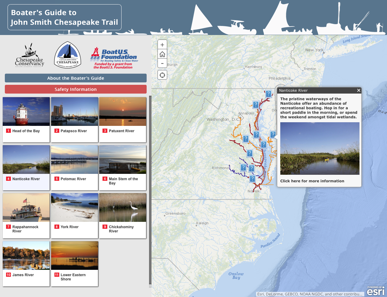
Now you can explore the Chesapeake Bay as Captain John Smith did – by boat! But, luckily for you, this adventure is accessible to all vessels and skill levels, and you will have the expertise of John Page Williams by your side.
A Boater’s Guide to the Captain John Smith Chesapeake National Historic Trail, a free online publication that introduces paddlers, skiffers and cruisers to exploration of the Chesapeake Trail. Gain practical information about trailheads, trip itineraries, and water conditions interwoven with the historical context of the Chesapeake’s waters explored by Captain John Smith four centuries ago. Choose between an online pdf copy or our Mobile Boater’s Guide.
Smart Buoys
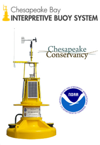
Smart Buoys mark the trail and provide instant information to trail travelers. See where the buoys are located and find out how to access both historic information and current weather conditions, or download our Smartbuoy App to view the buoy’s real-time information from your smartphone.
Access Sites
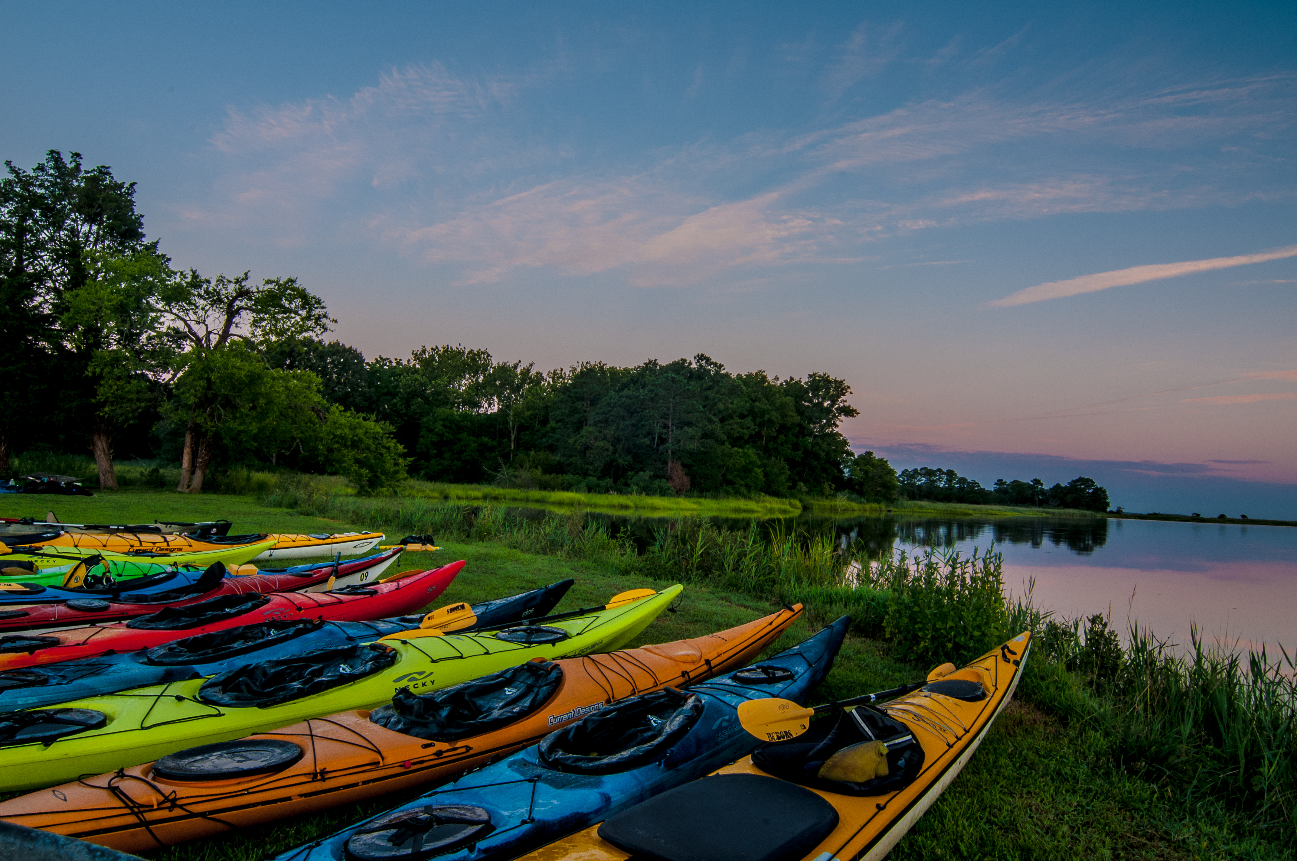
The Chesapeake Conservancy is working with the National Park Service and local partners to establish and improve public access facilities for the Chesapeake Trail that will allow visitors to get out on the water and view the same landscapes Captain John Smith experienced over 400 years ago.
Explore the access sites on the Chesapeake Trail using an interactive map available by visiting this page.
Historic Map
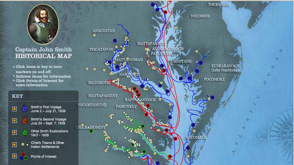
John Smith’s map records not only the geographic features of the Chesapeake, but also its cultural aspects, including more than 200 Native American towns. Many of the place names remain in use today.
Together with his journals, Captain John Smith’s map provides an unparalleled record of what the Chesapeake was like four centuries ago. To see his map and download it, visit this page.
Chesapeake Photo Tour
Find out more about Captain John Smith’s voyage and the Bay’s special landscape through this informative map produced by the National Geographic Society.
Join the Adventure and explore the Captain John Smith Chesapeake National Historic Trail. Visit their website for the latest information.
