Special Reports
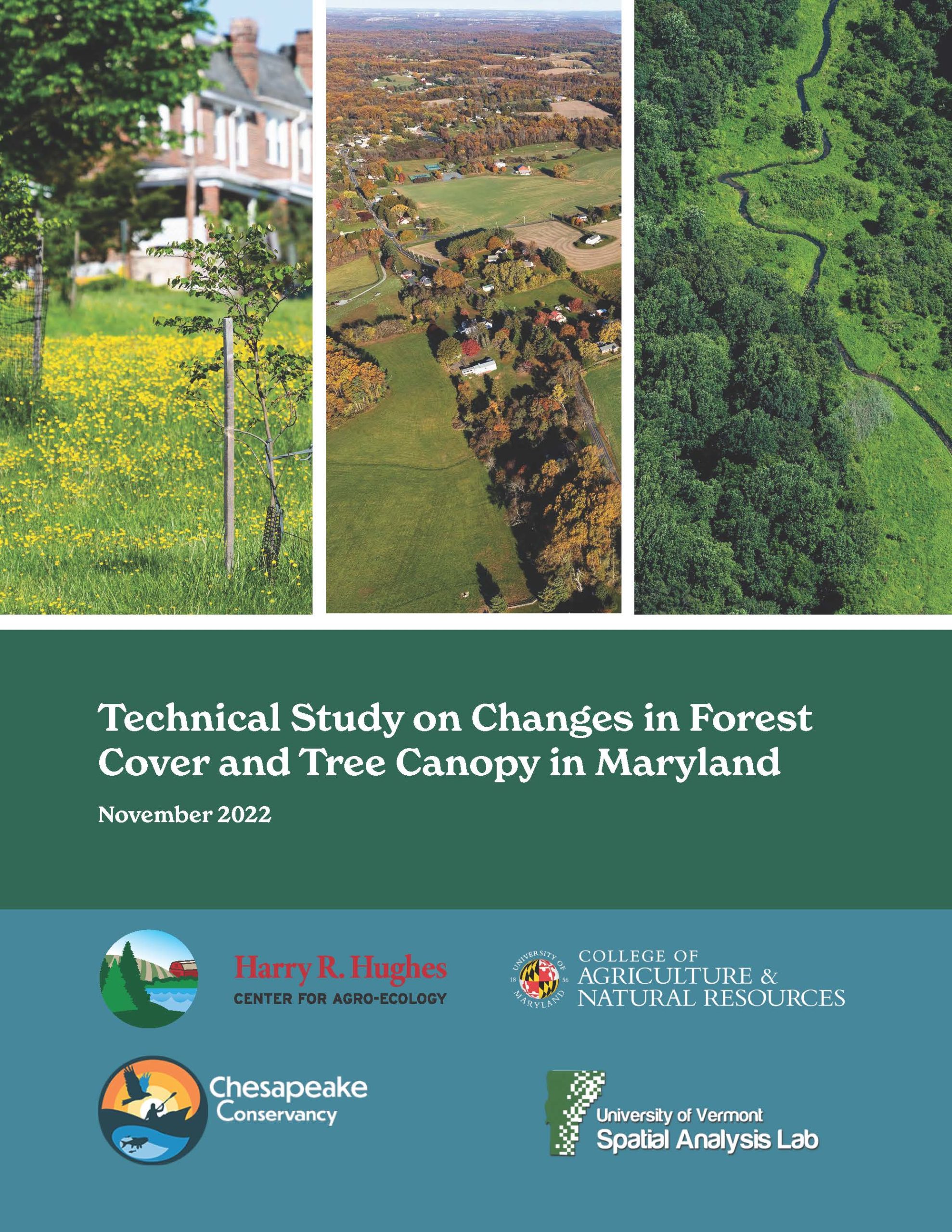
Technical Study on Changes in Forest Cover and Tree Canopy in Maryland
Released in November 2022, The Technical Study on Changes in Forest Cover and Tree Canopy in Maryland, or Maryland Forest Technical Study, commissioned by the Harry R. Hughes Center for Agro-Ecology and conducted together with Chesapeake Conservancy and the University of Vermont, uses high-resolution data to analyze forest and tree canopy change at the local scale and provide a greater understanding of the key drivers of change.
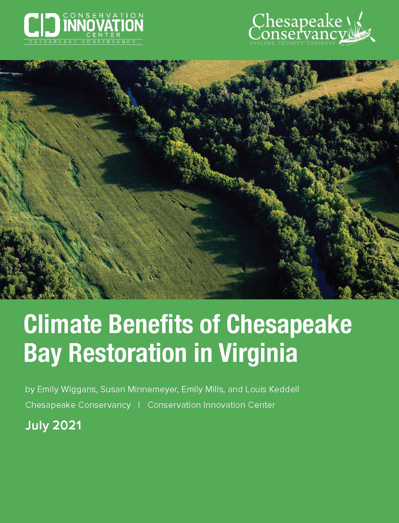
Climate Benefits of Chesapeake Bay Restoration in Virginia
Virginia’s efforts to improve water quality in the Chesapeake Bay through implementing agricultural conservation practices also removed over 459 thousand tons of carbon dioxide equivalent from the atmosphere in 2019, providing significant co-benefits for mitigating climate change.
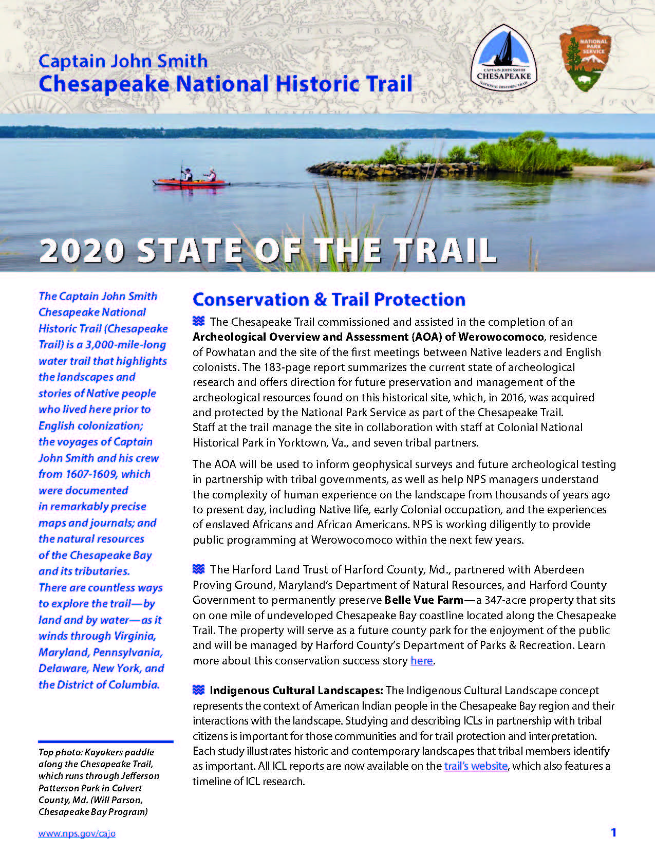
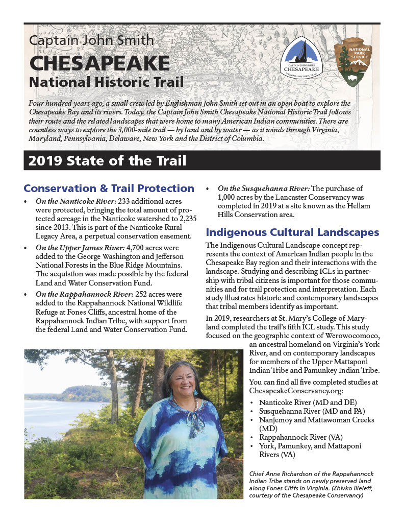
2020 State of the Trail Report
From commissioning and assisting in the completion of an Archeological Overview of Werowocomoco, to being featured in a new book, America’s National Historic Trails: Walking the Trails of History, the Chesapeake Trail had many successes in 2020.
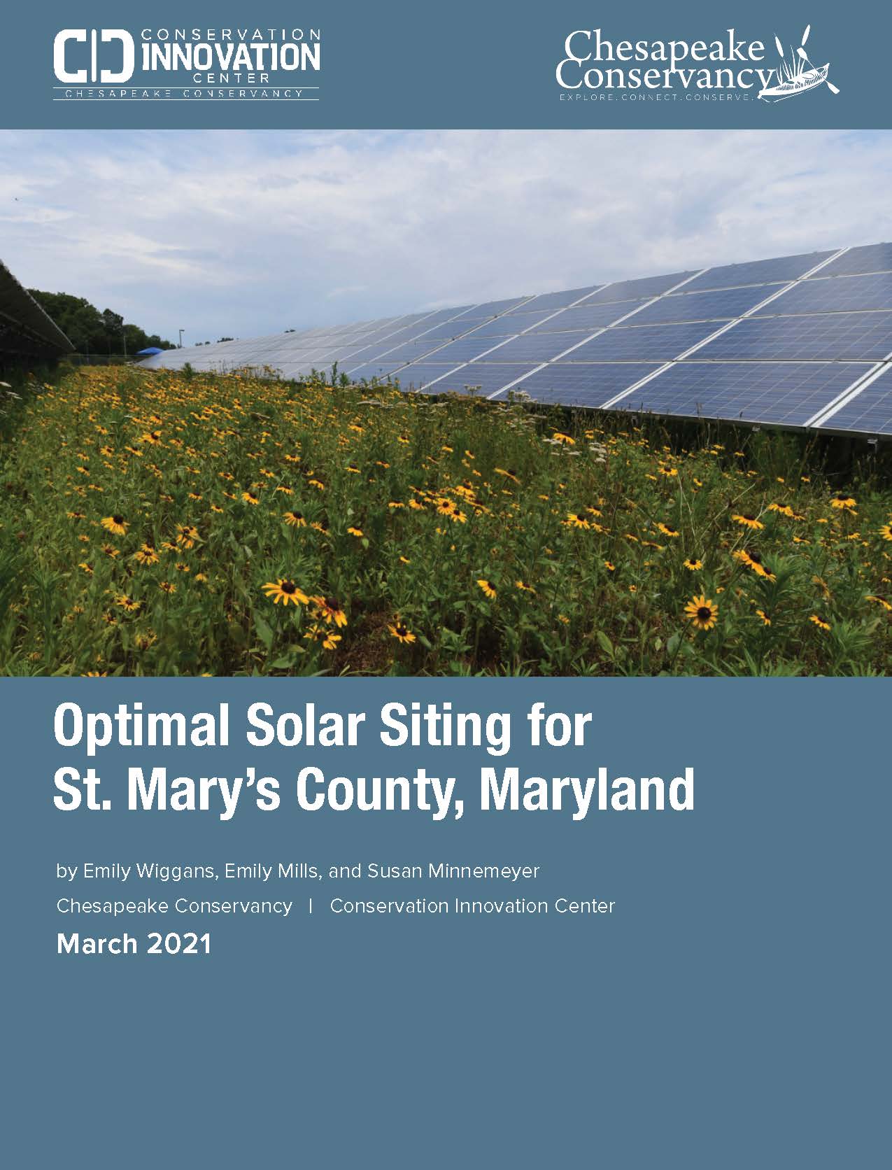
Optimal Solar Siting for St. Mary’s County, Maryland
Identifying optimal solar sites and answering the key question: Are enough optimal sites available to meet Maryland’s renewable energy goals for solar energy?
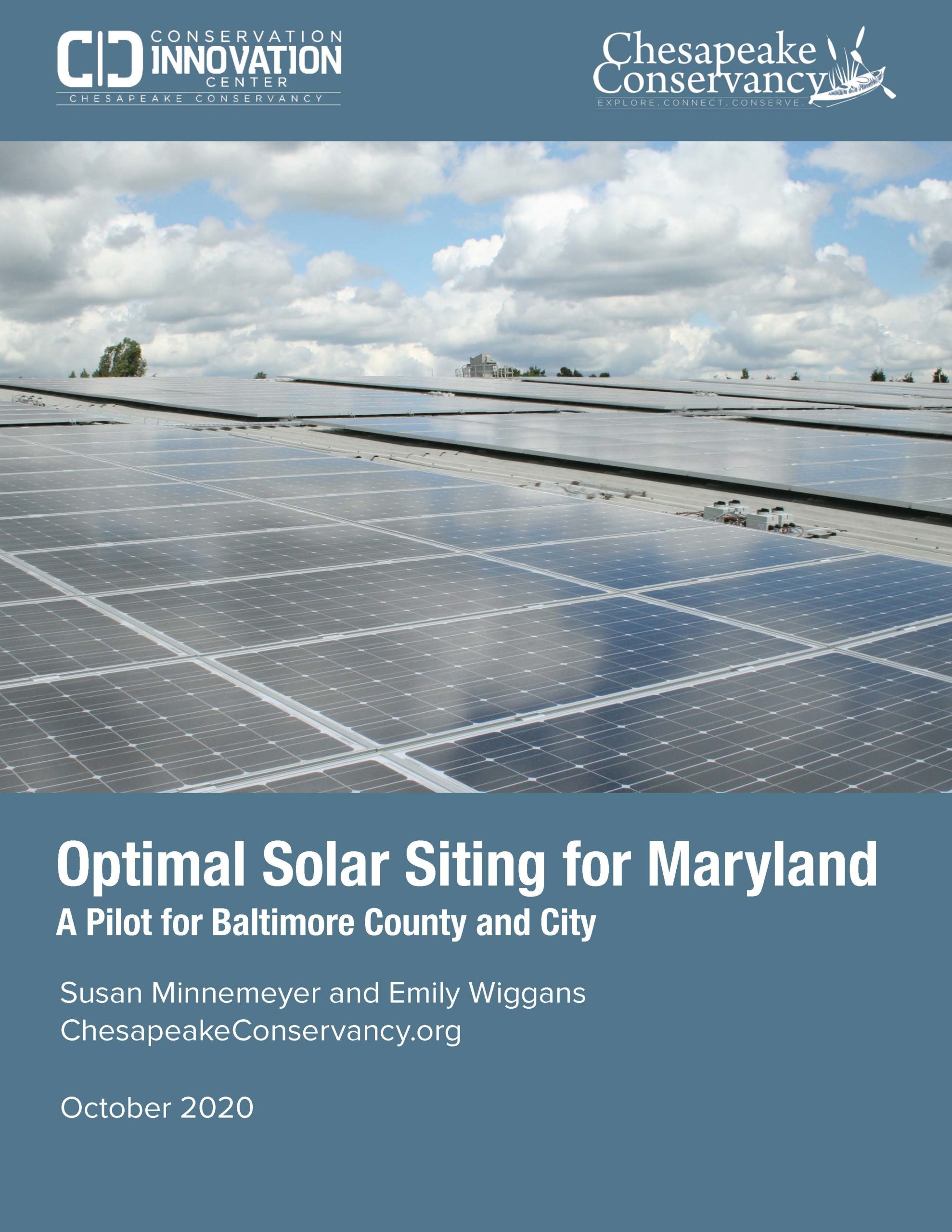
Optimal Solar Siting for Maryland: A Pilot for Baltimore County and City
Identifying optimal solar sites and answering the key question: Are enough optimal sites available to meet Maryland’s renewable energy goals for solar energy?
2019 State of the Trail Report
Read about all of the amazing accomplishments of the Captain John Smith Chesapeake National Historic Trail throughout 2019! From the successful continuation of the Junior Ranger program, to the newly funded Maritime Crafts Field School, there is much to be celebrated.
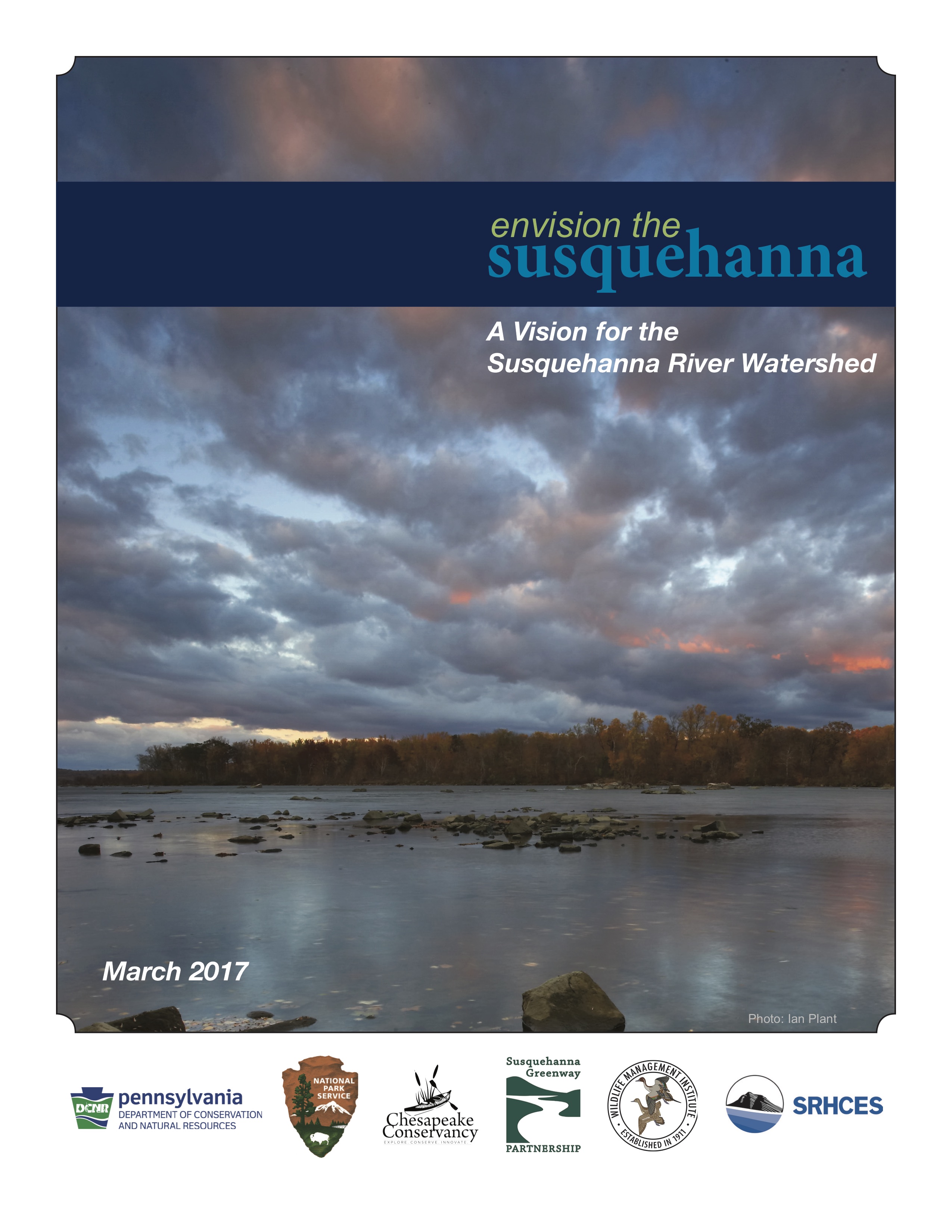
Envision the Susquehanna: A Vision for the Susquehanna River Watershed
The Envision the Susquehanna initiative, was launched by a core team comprised of the Chesapeake Conservancy, the National Park Service, the Pennsylvania Department of Conservation and Natural Resources, Susquehanna River Heartland Coalition for Environmental Studies, Susquehanna Greenway Partnership, and the Wildlife Management Institute in 2013. The core team as well as an advisory council of almost 40 organizations have encouraged individuals, community leaders and organizations to describe their vision for the Susquehanna River watershed. This report details the results of the initial planning process and lays out a vision for the future of the Susquehanna River.
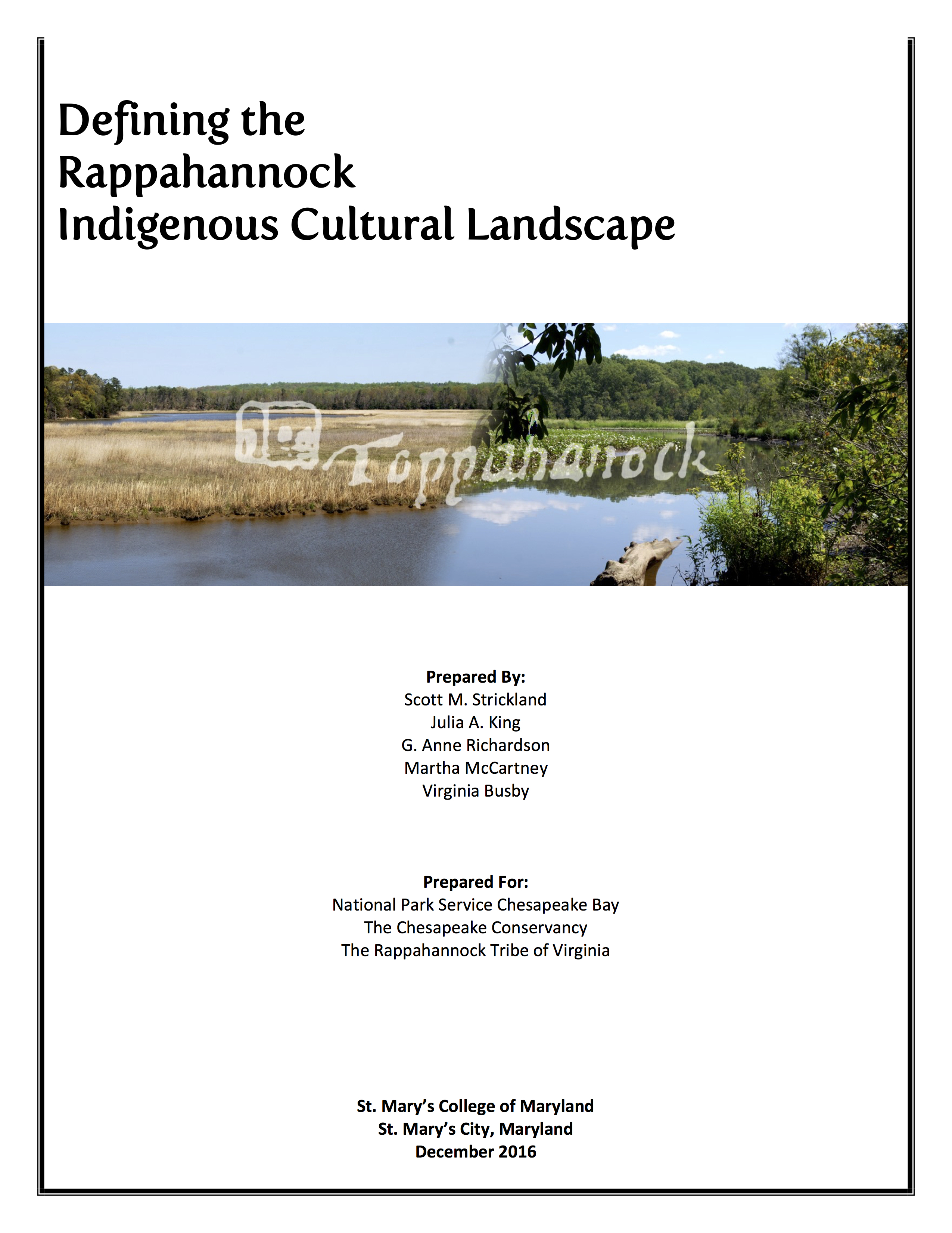
Defining the Rappahannock Indigenous Cultural Landscape
One of the goals of the John Smith Chesapeake Trail is to interpret Native life in the Middle Atlantic in the earliest years of colonization by Europeans. The Indigenous Cultural Landscape (ICL) concept was developed as an important tool for identifying Native landscapes along the Trail, both as they existed in the early 17th century and as they exist today.
Celebrating 10 Years of the John Smith Chesapeake Trail
A 10th Anniversary Tribute to the Captain John Smith Chesapeake National Historic Trail established December 19, 2006.
Green Infrastructure Report: Baltimore City
In support of the Greater Baltimore Wilderness Coalition, the Chesapeake Conservancy has produced the Green Infrastructure Report: Baltimore City to describe and promote three new technology resources to help guide the Coalition’s ongoing and future projects to expand and strengthen the network of green infrastructure in the Greater Baltimore Region. These tools are: Baltimore City Land Cover Classification, Vacant Lot Opportunities Analyst, and Park Finder: Baltimore. The details of these tools are discussed in this report.
River Corridor Wildlife Habitat Metrics
The Chesapeake Conservancy has developed a suite of landscape-scale indicators and metrics to track the status of wildlife habitat throughout the James River watershed. By designing the metrics to be GIS-detectable, Conservancy staff may monitor them, as well as conduct detailed assessments in priority areas to help understand emerging trends, threats, and opportunities. The details of this project are discussed in this report.
Implementing Technology and Precision Conservation in the Chesapeake Bay
In 2012, Chesapeake Conservancy, with the support of the Digital Energy and Sustainability Solutions Campaign (DESSC), explored the role that technology could play in expanding the application of precision conservation; or getting the right practices, at the right scale, at the right time, in the right place. To increase the use of these emerging landscape analysis techniques, DESSC provided the Conservancy with an additional grant to test the most promising technologies and identify how these tools could improve the capabilities of the conservation community, identify the major challenges to implementing them on a wider scale, and better understand the ability for the resulting datasets to highlight priority landscapes within the project watershed.
Low Cost Water Quality Monitoring Needs Assessment
The Low Cost Water Quality Monitoring Needs Assessment report was performed by Chesapeake Conservancy’s Conservation Innovation Center to guide the Conservancy’s entry into the water quality monitoring field. It also provided the basis for a mission?related set of findings and action recommendations made to the Conservancy. The report follows the Center’s earlier investigation into precision conservation analysis tools and serves as a complementary resource guide featuring technologies available for acquisition and remote transmission of site specific water quality monitoring data. Among other goals, the Conservation Innovation Center aspires to facilitate broader citizen?based monitoring efforts in the Chesapeake Bay watershed using innovative, low cost devices.
A Novice Experiment with Satellite-based Classificaion of Agricultural Crops and BMPs
In 2013 Burke Environmental Associates received funding from the Keith Campbell Foundation for the Environment to work in collaboration with Chesapeake Commons and the Environmental Working Group to investigate how satellite-based classification of agricultural crops and best management practices (BMPs), could potentially be used by GIS analysts, who are not remote sensing specialists.
Conservation Innovation in Context: A Roundtable hosted by the Aspen Institute and the Chesapeake Conservancy
In May 2013, the Chesapeake Conservancy and Aspen Institute hosted a roundtable exploring the role that conservation innovation can play in improving the effectiveness and efficiency of the conservation community. Over the course of two days, thirty-five experts in the fields of conservation targeting, remote sensing, communications and conservation finance discussed the challenges currently facing conservation organizations, promising technologies and techniques that could help bridge some of these gaps, and the Conservancy’s plans for a virtual Conservation Innovation Center for the Chesapeake Bay region. This report details the results of this roundtable.

Envision the James: A Vision for the James River Watershed
The Envision the James (ETJ) initiative, launched by a team comprised of the Chesapeake Conservancy, the James River Association and National Geographic Maps in 2011, has encouraged individuals, community leaders and organizations to describe their vision for the James River watershed. This report details the results of the initial planning process and lays out a vision for the future of the James River.
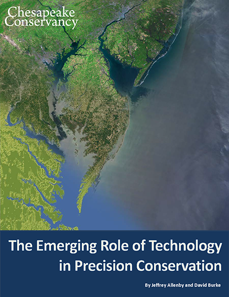
The Emerging Role of Technology in Precision Conservation
The Chesapeake Conservancy recently completed a report, funded by the Digital Energy and Sustainability Solutions Campaign, which explores the role that information and communications technology can play in guiding conservation efforts throughout the Chesapeake Bay watershed and prioritizing the protection and restoration of the region’s most valuable ecosystems. The report, entitled “The Emerging Role of Technology in Precision Conservation,” highlights new cost-effective technologies that can rapidly and accurately determine high-functioning natural landscapes that have the greatest potential for maintaining or improving the water quality of the Chesapeake Bay.
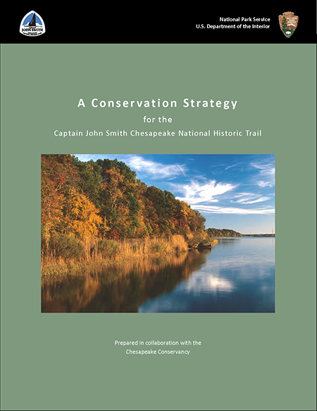
A Conservation Strategy for the Captain John Smith Chesapeake National Historic Trail
Prepared by the National Park Service, in collaboration with the Chesapeake Conservancy, this Conservation Strategy provides the means for defining priority conservation areas relative to the trail and designing appropriate conservation methods. Its focus is on saving the places that enrich visitor experiences and recreation along the trail and that contribute synergy to the many programs working to improve quality of life along the Chesapeake Bay and its rivers.
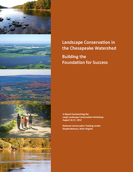
Landscape Conservation in the Chesapeake Watershed Workshop: Building the Foundation for Success
The Chesapeake Bay Watershed Large Landscape Conservation Workshop convened at the National Conservation Training Center in Shepherdstown, West Virginia on August 16-17, 2012. Colleagues representing over 30 organizations and agencies shared rapid, six-minute presentations highlighting on-going collaborative efforts, discussed the characteristics of large landscape conservation, explored how to focus on particular landscapes, and identified principles and some immediate actions the group and individual organizations can advance to foster collaboration. This report summarizes the discussions.
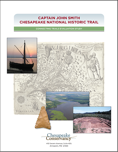
Captain John Smith Chesapeake National Historic Trail Connecting Trails Evaluation Study
In the autumn of 2008, the Friends of the John Smith Chesapeake Trail (now the Chesapeake Conservancy) decided to explore the designation of several Chesapeake Bay tributaries as connecting trails to the Captain John Smith Chesapeake National Historic Trail. The Conservancy reached agreements with qualified scholars throughout the region to form research teams and investigate the potential for each of the rivers to qualify as connecting trails based on the history of the region, the Indians who occupied the area early in the 17th century, Smith’s exploratory voyages, and the natural environment and resources of the Bay. This document contains summaries of the final reports that each research team submitted.
Conserving Chesapeake Landscapes
In “Conserving Chesapeake Landscapes,” the Chesapeake Bay Commission and the Chesapeake Conservancy have recommended actions to promote and accelerate progress on land conservation in the Chesapeake watershed and enable the region’s governments to meet the new goal to conserve two million acres of land and create 300 public access points watershed-wide by 2025 and Virginia’s goal of 400,000 acres by 2014.