Middle Chesapeake Sentinel Landscape – Nanticoke River
Discover the Nanticoke
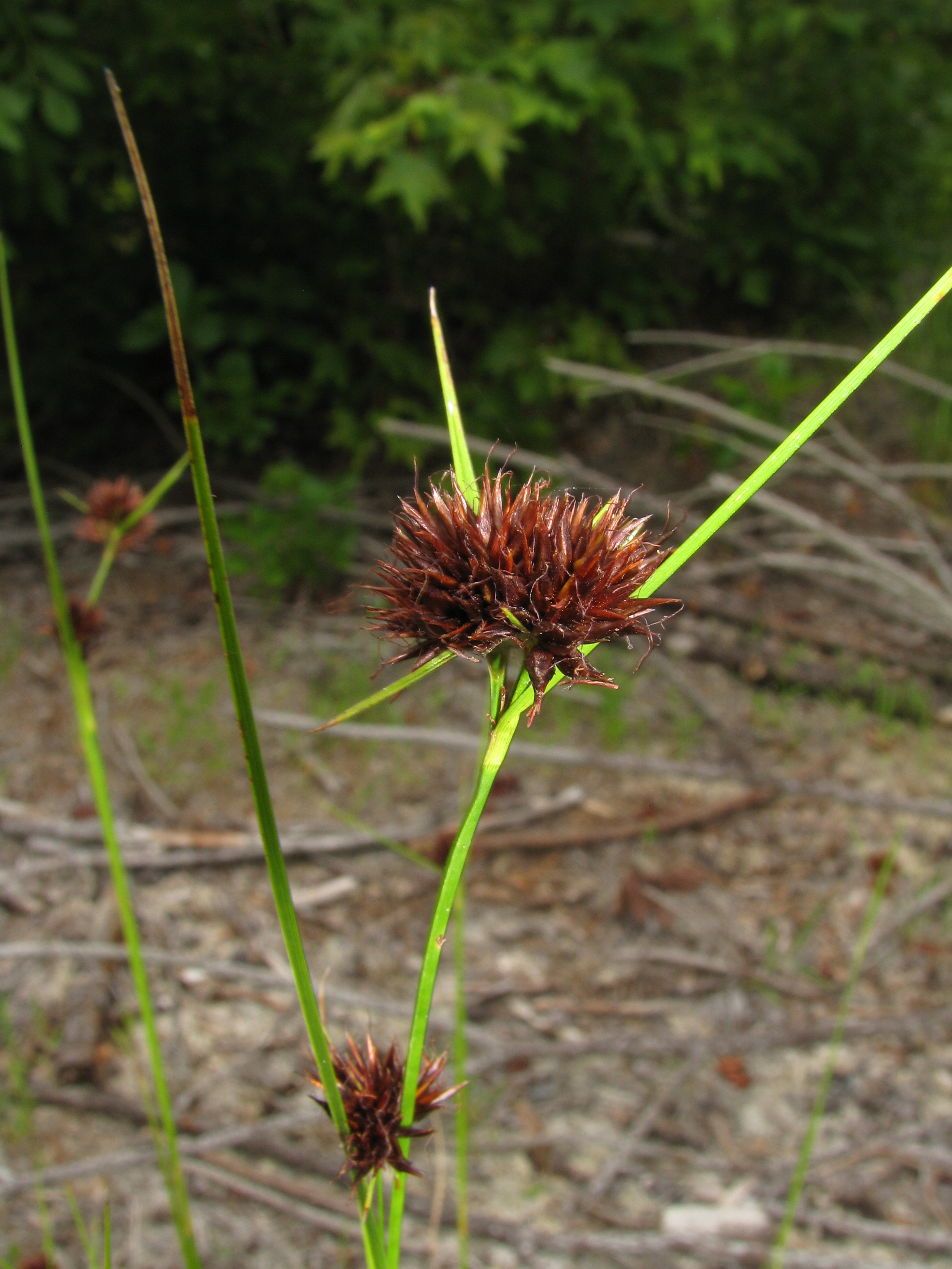
Capitate Beakrush
Photo Credit: Kerry Wixted
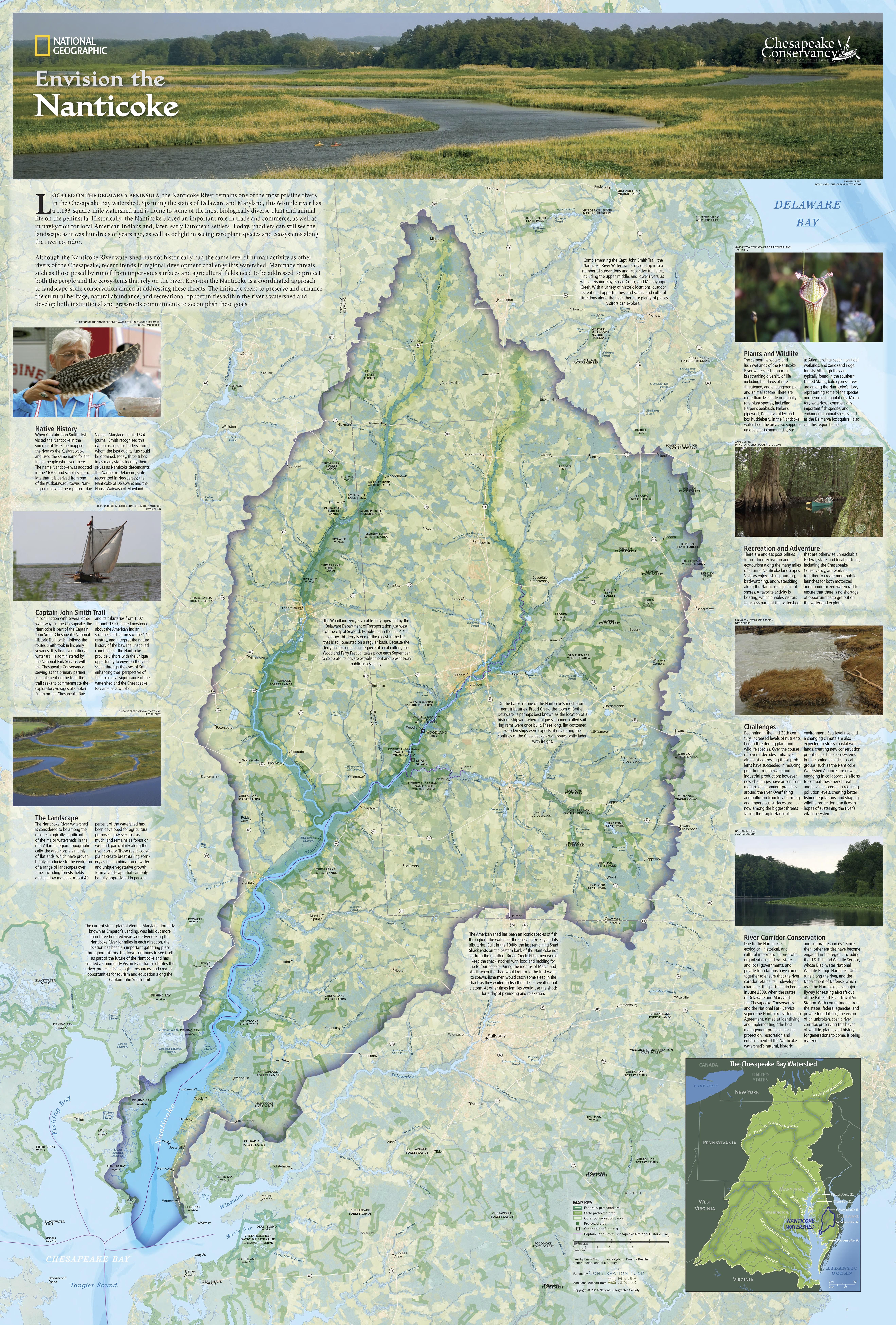
The Nanticoke River is an ecological and cultural resource unparalleled along North America’s Mid Atlantic Coast and is the most pristine river in the Chesapeake Bay watershed. The River runs from what is today central Delaware, through the Eastern Shore of Maryland and into the Chesapeake Bay. It was named after the Native American Indian tribe that originally settled the River. The cultural and historical heritage of the watershed also encompasses a rich biodiversity that provides habitat for hundreds of globally rare, threatened, and endangered species of plants and animals. The ecological integrity of the watershed has resulted in international recognition as a RAMSAR designation of Wetland of International Importance, a globally Important Bird Area (IBA), as well as several North American designations of ecological significance including habitat for migratory waterfowl.
Despite the recognized cultural and ecological significance of the Nanticoke River, the encroachment of development, sea level rise, habitat degradation, and fragmentation continue to threaten the river. In an effort to preserve these resources, Chesapeake Conservancy brought together a team of partners including NGOs and state and federal agencies to create a corridor of protected land that would retain the value of the existing resources and meet the long-term view of conserving 50% of the Chesapeake Bay watershed by 2050. The Nanticoke River watershed is celebrated as a global example of landscape scale conservation with 33% of the watershed protected from development.
Chesapeake Conservancy has served as a leader in the Nanticoke watershed, forging innovative private-public partnerships that to date have secured more than $3,393,046 in private funds from the Mt. Cuba Foundation that have been matched with state and federal dollars to protect over 3,485 acres of land within this watershed. In addition to being a model for landscape scale conservation that moves the needle closer to protecting 50% of our land by the year 2050, these projects create much needed public access and compatible use recreation opportunities in communities that are lacking in these resources. Not only does this help bolster local economies through tourism and recreation opportunities, it also inspires our next generation of conservationists to protect the natural and cultural resources that exist in their back yards.
The Nanticoke has forged a network of unlikely partners that all have a common mission of conserving open space and resources throughout the watershed. The U.S. Navy at Patuxent Naval Air Station is involved in Nanticoke conservation to support their need to ensure military readiness throughout the Atlantic Test Range. The U.S. Department of Interior has helped protect habitat for wildlife at Blackwater National Wildlife Refuge and other natural resources associated with it. The U.S. Department of Agriculture maintains a legacy of working lands through conservation and agricultural easements. Other state agencies including Maryland’s Department of Natural Resources and the Delaware Department of Natural Resources and Environmental Control. In addition to NGOs of varying scope and scale have all invested a tremendous amount of resources and energy into the watershed, recognizing the importance of conserving one of the regions last great treasures. To date, a network of protected lands in excess of 19,300 acres exists in the Nanticoke watershed today and partners continue to build on this impressive legacy of work.
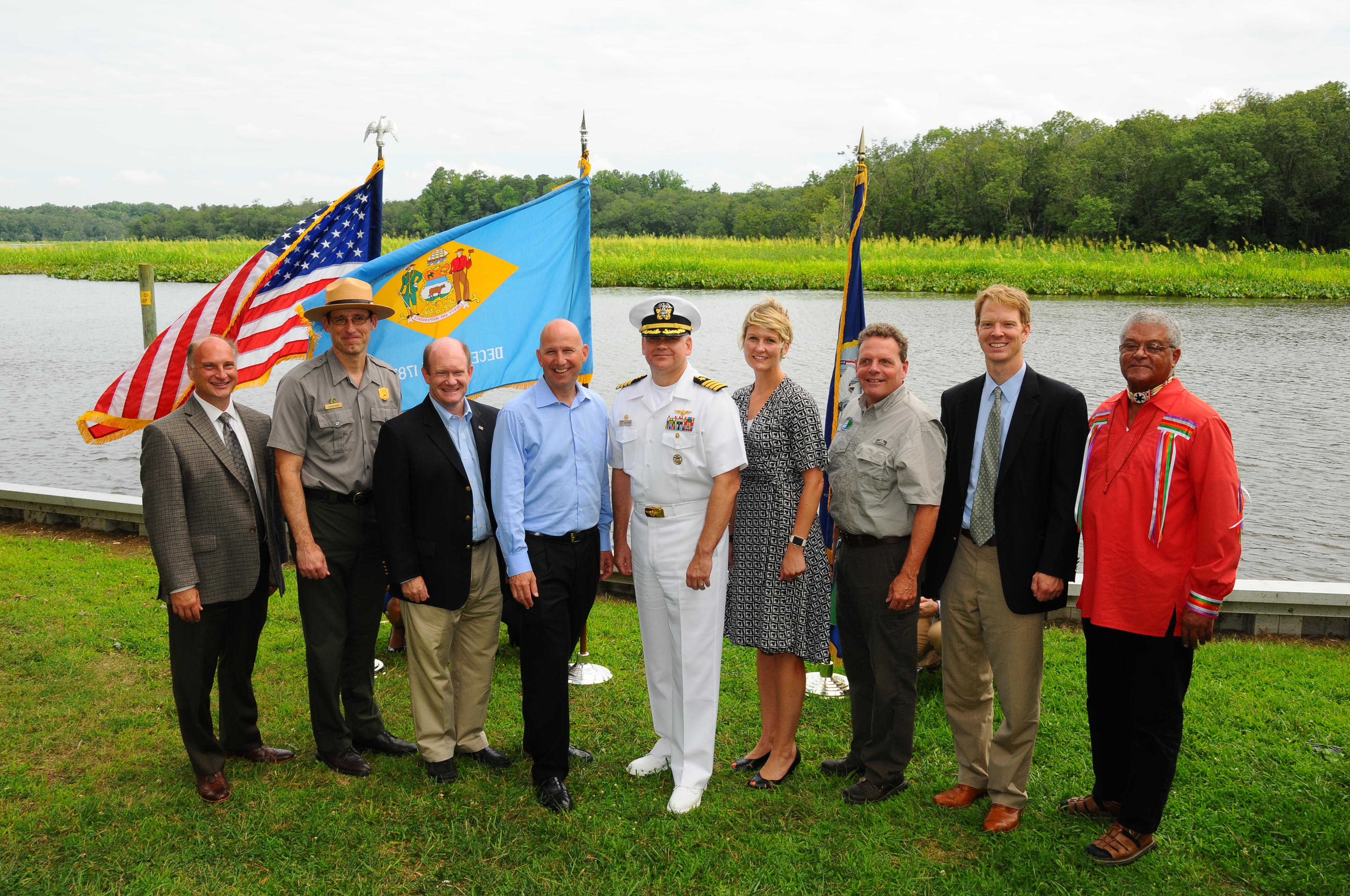
Photo: Peter Turcik
In 2016 a celebration was held for the acquisition of proprerty for Sussex County’s Nanticoke Wildlife Area. Pictured, left to right: Jeff Downing, Mt. Cuba Center; Chuck Hunt, superintendent, NPS Chesapeake Bay Office; U.S. Senator Chris Coons (D-DE); Governor Jack Markell; Capt. Scott Starkey, Naval Air Station Patuxent River commanding officer; Kristin Thomasgard, REPI program director; DNREC Secretary David Small; Joel Dunn, Chesapeake Conservancy president and CEO; Chief Dennis Coker, Lenape Tribe.
Partnerships on the Nanticoke
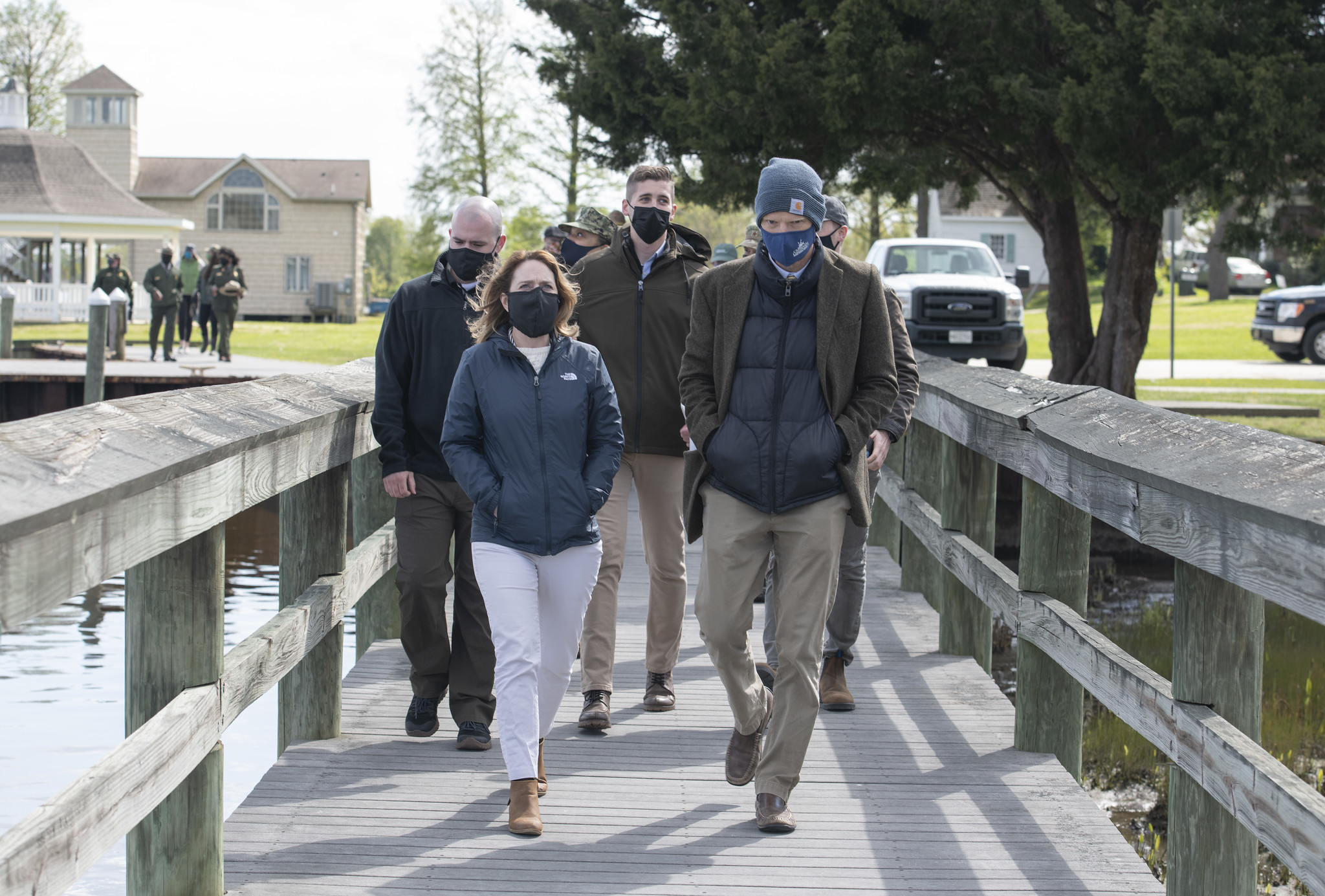
Deputy Secretary of Defense Dr.Deputy Secretary of Defense Dr. Kathleen H. Hicks visits Mandala Pies during a visit to Vienna, Maryland, April 22, 2021. (DoD photo by U.S. Air Force Staff Sgt. Brittany A. Chase) Kathleen H. Hicks tours the Nanticoke River during a visit to Vienna, Maryland, April 22, 2021. (DoD photo by U.S. Air Force Staff Sgt. Brittany A. Chase)
2021
On the 51st anniversary of Earth Day, Chesapeake Conservancy along with many valued partners welcomed Deputy Defense Secretary Kathleen Hicks in Vienna, Maryland, as she visited the Middle Chesapeake Sentinel Landscape to highlight this Sentinel Landscape partnership.
2019/2020
Chesapeake Conservancy continues to move forward several land protection projects in the Nanticoke River watershed helping to further the vision for the Nanticoke River Paddle trail through key acquisitions to create public access points along the river.
2018
Chesapeake Conservancy protected an additional 223 acres of farmland in the Nanticoke watershed. The Conservancy also gifted a small urban park to the City of Seaford, Delaware that will serve as a trailhead for a water trail connecting Delmarva residents to the Nanticoke River and the Chesapeake Bay.
2017
Chesapeake Conservancy raised $1.5 million to protect an additional 533 acres of land farmland that will help preserve the rural character of the Sentinel Landscape and further the mission of the federal, state, and non-profit partners.
2016
The Department of Defense (DoD) nationally competitive REPI Challenge awarded $1 million to help conserve lands located within the newly designated Naval Air Station Patuxent River and Atlantic Test Ranges Sentinel Landscape in Southern Maryland and along the Nanticoke River.
2015
Chesapeake Conservancy raised an additional $1.65 million to protect additional key properties along the Nanticoke River.
The Departments of Agriculture, Defense, and the Interior designated the Nanticoke River and its surrounding areas as the Middle Chesapeake Sentinel Landscape.
2014
Chesapeake Conservancy’s Nanticoke River proposal was awarded $1 million through the Department of Defense’s nationally competitive REPI Challenge to protect property along the Nanticoke to protect Naval Air Station Patuxent River readiness.
Chesapeake Conservancy processed 1 m x 1 m, high resolution land use land cover data for the Nanticoke River watershed, enhancing decision making options for all of our partners.
2013
Chesapeake Conservancy raised $1.5 million to protect key properties along the Nanticoke River.
2008
On the heels of the establishment of the John Smith Chesapeake Trail, the U.S. Department of the Interior, states of Delaware and Maryland, and the Chesapeake Conservancy signed an agreement to work together to protect the Nanticoke River.
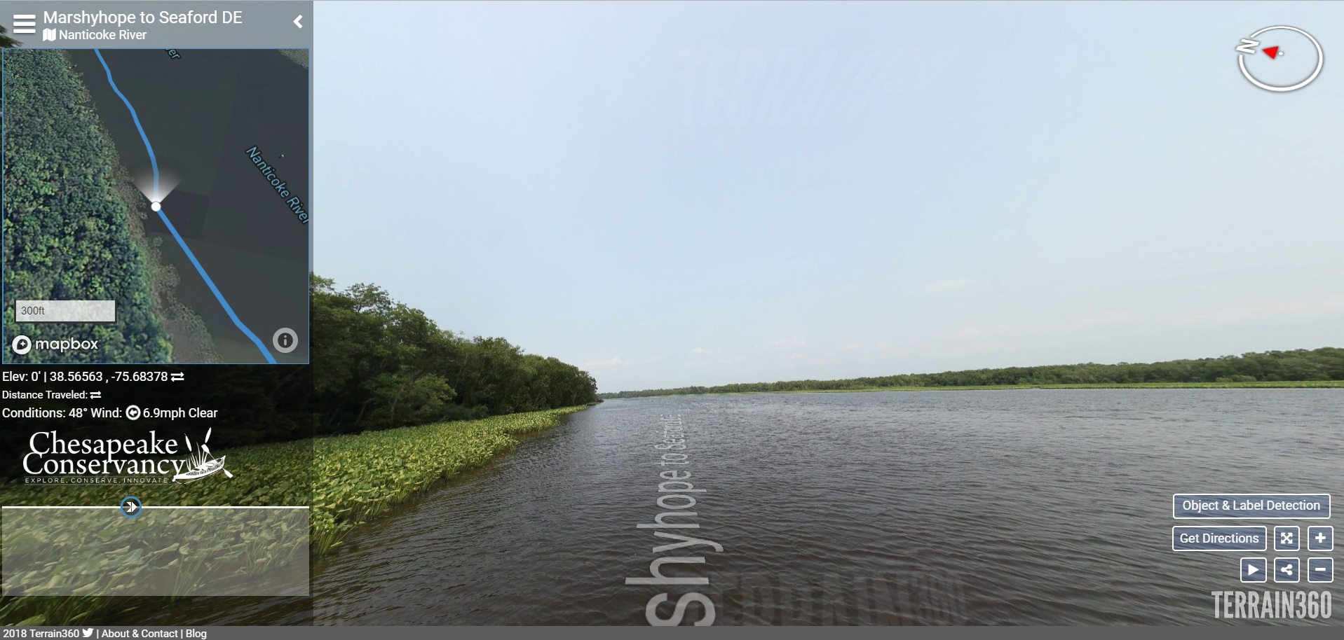
360 Degree Virtual Reality Tours
Google street view style tour
Fully immerse yourself in the pristine Nanticoke River and see many sights as Captain John Smith and the American Indians would have seen them over 400 years ago
Public Access
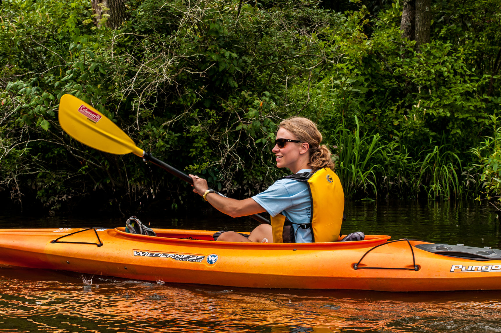
Vienna, MD
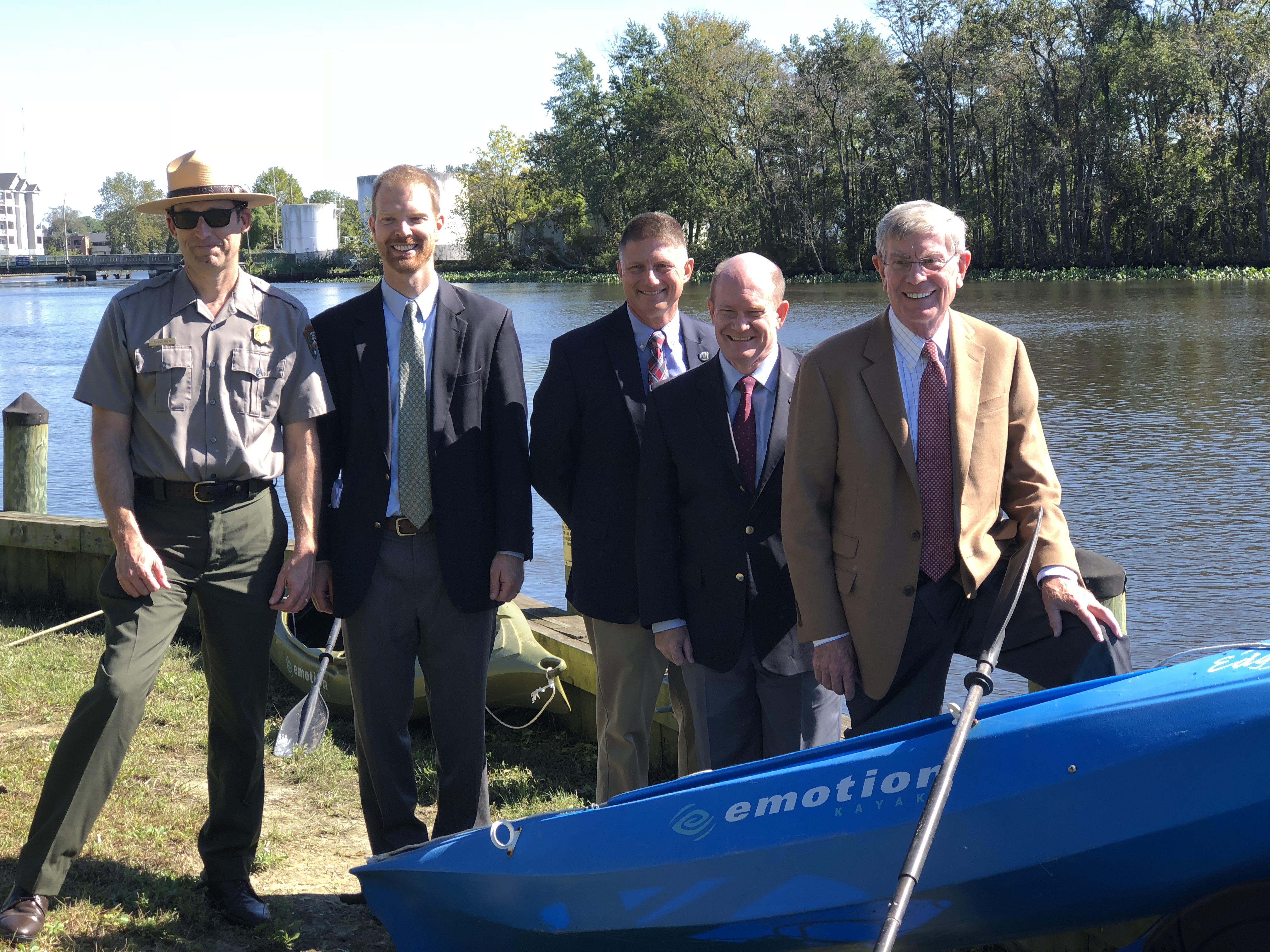
The Conservancy supported the Maryland Department of Natural Resources’ acquisition of a small property along the Vienna waterfront. This property has the unique position of accomplishing local, state, and federal conservation and recreational access goals by adding to the Vienna Greenbelt Project, expanding the Vienna Riverwalk, helping protect important wildlife habitat in the nearby Mill Creek Natural Heritage Area, and enhancing the Captain John Smith Chesapeake National Historic Trail.
Woodland Wharf
In 2012, with the Conservancy’s support, DNREC acquired one of the priority parcels for public access located on the Nanticoke River. This 0.5-acre parcel, called Woodland Wharf, is an ideal intermediate access point along the eight-mile water trail segment between Phillips Landing and the Town of Seaford. The grand opening of this improved public access site took place in May 2019, featuring a boat dock with a canoe/kayak launch, plus new steel bulkheads. A new six-space parking area and shoreline fishing access with a bench and bike rake complete the project.
Seaford
A new project began in 2018 at the site of the old J.B. Robinson Oyster House site along the Seaford River Walk.
With support from Mt. Cuba Center, Chesapeake Conservancy, a nonprofit based in Annapolis, MD, was able to purchase the nearly 1-acre parcel of waterfront land and donate it to the City of Seaford to become a small waterfront park with a kayak launch and other amenities. The City and Chesapeake Conservancy partnering with the National Park Service Chesapeake Bay Office to facilitate public access to the river.
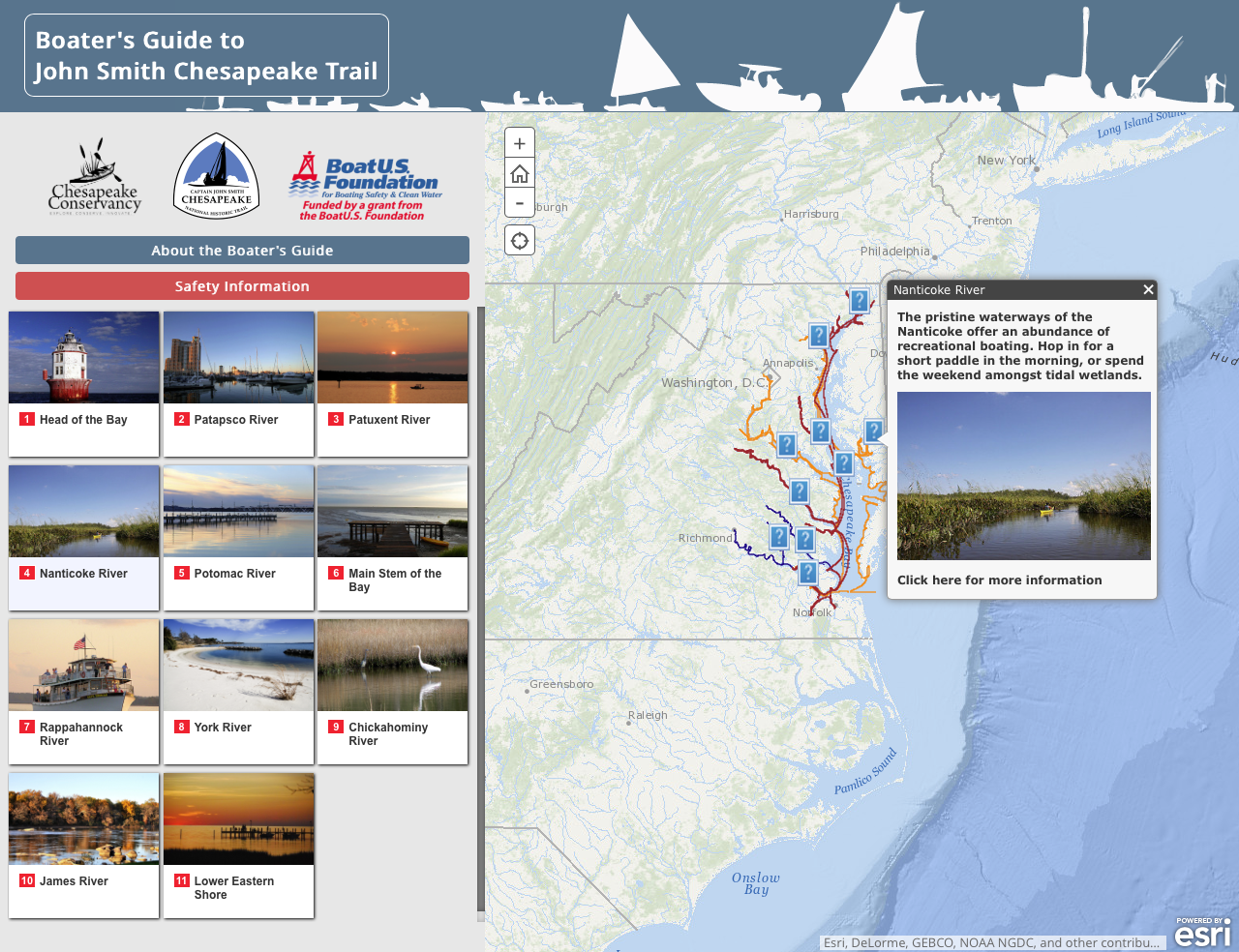
Mobile Boater’s Guide
Plan your next adventure along the Nanticoke River with the Mobile Boater’s Guide to the John Smith Chesapeake Trail. Find where you can launch your boat and learn about the river’s geography, history, wildlife, and the best type of craft for boating excursions in each area.
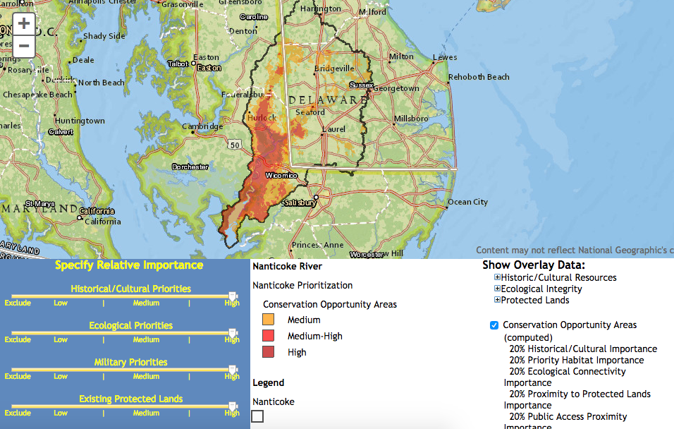
Nanticoke Conservation Opportunity Analyst
The Nanticoke Conservation Opportunity Analyst helps organizations prioritize areas across the watershed that meet agreed upon “conservation criteria.” A panel of controls allows user to specify their level of interest in five categories: historical/cultural, habitats, ecological connectivity, existing protected lands, and proximity to public proximity. By running the tool several times with different values, users can quickly understand how regional priorities change based on their preferences and which landscapes are continually determined to be high value.
