Chesapeake Conservancy Receives Special Achievement Award for Exceptional Application of GIS Technology
Annapolis, MD – The Chesapeake Conservancy was honored with a Special Achievement in GIS (SAG) Award at the 2015 Esri International User Conference in San Diego, Calif. This award acknowledges vision, leadership, hard work, and innovative use of Esri’s geographic information system (GIS) technology.
Chesapeake Conservancy uses Esri ArcGIS technology for innovative conservation and restoration planning through data-driven, web-based applications. The Conservancy works with local partners to identify their biggest challenges and develop the information and customized applications, to take advantage of the latest technology and to make informed decisions at the parcel scale. Among other things, the Conservancy uses Esri ArcGIS technology for high-resolution land cover mapping and change analysis, multi-resource conservation planning, and viewshed protection and impact assessments.
“Chesapeake Conservancy was honored to receive a Special Achievement in GIS (SAG) award at the 2015 Esri User Conference in San Diego for outstanding work with GIS technology. The Conservancy stood out from more than 100,000 other entries and represented the top 1/10th of the top 1% of ESRI’s 180,000 global customers,” Jeff Allenby, director of conservation technology, Chesapeake Conservancy, said.
In addition to the Chesapeake Conservancy, Esri honored organizations from around the world and across a variety of industries including agriculture, cartography, climate change, defense and intelligence, economic development, education, government, health and human services, telecommunications, and utilities.
“The SAG Awards identify the organizations and people who are using the power of geography to make our world a better place,” said Esri President Jack Dangermond. “At Esri, we are always deeply inspired by the passion and innovation of our users. They deserve recognition for their invaluable contributions to their communities and the continued evolution of geographic science.”
For more information about the 2015 Special Achievement in GIS Award winners, including project information and photos, please visit esri.com/sag.
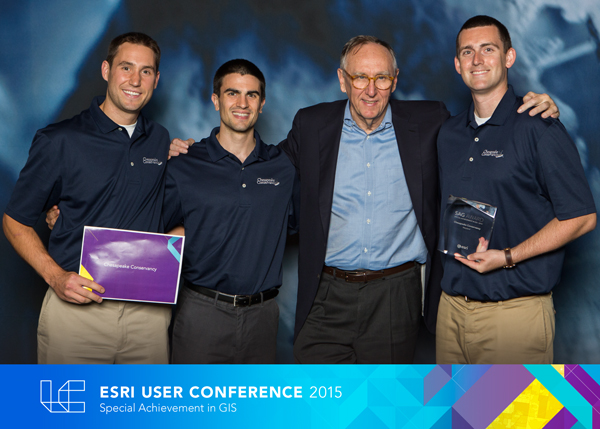
Photo caption from left to right: Colin Steif, solutions engineer, Chesapeake Conservancy; Conor Phelan, conservation analyst, Chesapeake Conservancy; Jack Dangermond, president, Esri; and Jeff Allenby, director of conservation technology, Chesapeake Conservancy.